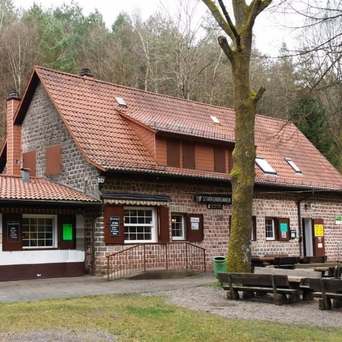
Startpunkt der Tour ist ein kleiner Parkplatz nicht weit vom Waldhaus Starkenbunnen entfernt. Die Strecke führt auf gut ausgebauten Forstwirtschaftswegen um Ruppertsweiler herum. Die halbe Distanz verläuft relative eben bis der Weg anschließend bis zum höchsten Punkt stetig ansteigt.
Galerie du tour
Carte du tour et altitude
Minimum height 227 m
Maximum height 462 m
Commentaires

Tracks GPS
Trackpoints-
GPX / Garmin Map Source (gpx) download
-
TCX / Garmin Training Center® (tcx) download
-
CRS / Garmin Training Center® (crs) download
-
Google Earth (kml) download
-
G7ToWin (g7t) download
-
TTQV (trk) download
-
Overlay (ovl) download
-
Fugawi (txt) download
-
Kompass (DAV) Track (tk) download
-
Feuille de tours (pdf) download
-
Original file of the author (gpx) download
Add to my favorites
Remove from my favorites
Edit tags
Open track
My score
Rate


