Login

Login oublié ?

Cookies have to be accepted!
Your browser's cookie functionality is disabled. Please enable this functionality.

Not a member yet?

Register now
Login

Available for registred users only

Log in to use this feature.

Login oublié ?

Cookies have to be accepted!
Your browser's cookie functionality is disabled. Please enable this functionality.

Not a member yet?

Register now
Filter
Catégories
Advanced filters
  • Longueur (km)
  • Altimètre
Enregistrer le filtre Reset filter

TrackRank

QRCode

Technical data

Longueur29,6 km Altimètre378 m Way down372 m Durée02:50 h:m Date30.03.2014
Evaluations Author Paysage Aspect amusement Condition Technique

Statistiques

560 Vues Evaluations 54 Téléchargements Moyenne
Rate
  • Feuille de tours
  • Arrivée
  • Téléchargements

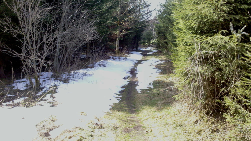
Kleine Tour im Spätwinter vom Schwarzenberger Weiher über den Truppenübungsplatz Bodelsberg in den Kemptner Wald und über Görisried und Wildberg zurück.

Coole High-Speedabschnitte auf glatten breiten Schotterwegen auf dem truppenübungsplatz.

Abkürzungen über Wiesen, die aber bei hohen Gras auch umfahren werden können.

Wie imer mit Einehrmöglichkeiten ;-)


Galerie du tour

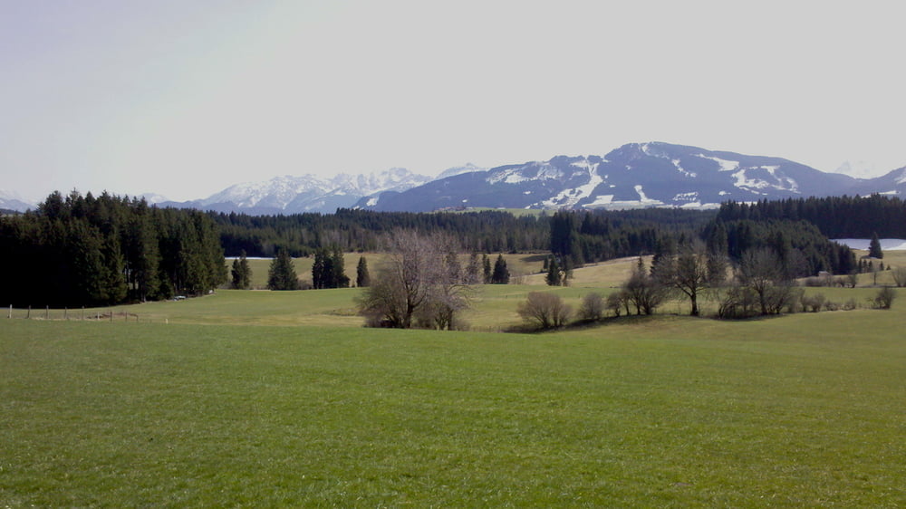
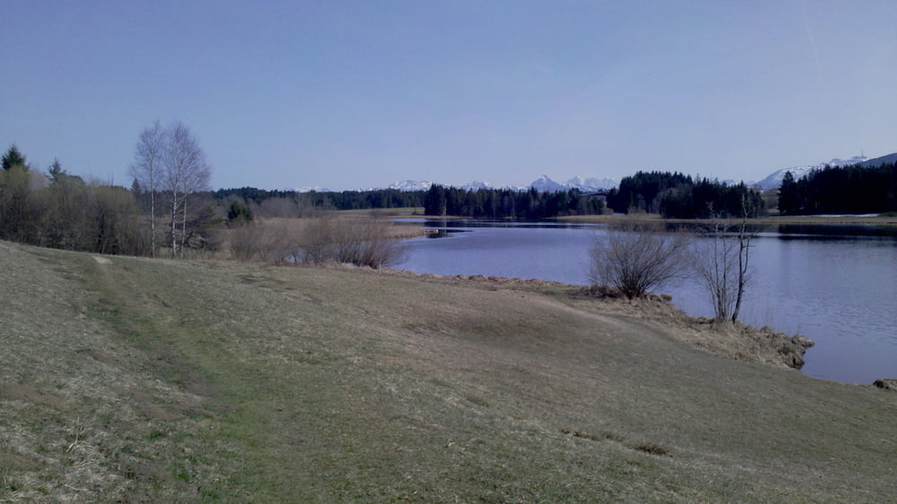
Carte du tour et altitude

  • Open Street Map
  • Google
Minimum height 808 m Maximum height 964 m Vue de détail

More about the tour author

toni5608
Member since 2009

Send private message

Commentaires

Tracks GPS

Trackpoints
  • GPX / Garmin Map Source (gpx) download
  • TCX / Garmin Training Center® (tcx) download
  • CRS / Garmin Training Center® (crs) download
  • Google Earth (kml) download
  • G7ToWin (g7t) download
  • TTQV (trk) download
  • Overlay (ovl) download
  • Fugawi (txt) download
  • Kompass (DAV) Track (tk) download
  • Feuille de tours (pdf) download
  • Original file of the author (gpx) download

More about the tour author

toni5608
Member since 2009

Send private message
Share track
Add to my favorites
Remove from my favorites
Edit tags
My score
Rate
Tour: Schwarzenberger Weiher im Spätwinter
Cat.: Mountainbike
Longueur: 29,6 km
Evaluated on:
Durée:
Day(s)
Hour(s)
Minute(s)
Evaluation: Paysage Aspect amusement Condition Technique