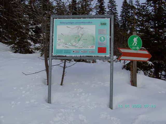
gemütliche Tour mit DAV-Beschilderung. Vom Parklplatz beim Mahdtalhaus in westlicher Richtung zuerst durch lichten Wald dann über freie Hänge zum Gipfel. Abfahrt wie Aufstieg.
Galerie du tour
Carte du tour et altitude
Minimum height 1049 m
Maximum height 2015 m
Commentaires

von Kempten über Immenstadt-Sonthofen in das kleine Walsertal. Vor Ritzlern nach rechts über die Breitachbrücke zum Mahdtalhaus DAV Stuttgart Parkplatz.
Tracks GPS
Trackpoints-
GPX / Garmin Map Source (gpx) download
-
TCX / Garmin Training Center® (tcx) download
-
CRS / Garmin Training Center® (crs) download
-
Google Earth (kml) download
-
G7ToWin (g7t) download
-
TTQV (trk) download
-
Overlay (ovl) download
-
Fugawi (txt) download
-
Kompass (DAV) Track (tk) download
-
Feuille de tours (pdf) download
-
Original file of the author (g7t) download
Add to my favorites
Remove from my favorites
Edit tags
Open track
My score
Rate


