Login

Login oublié ?

Cookies have to be accepted!
Your browser's cookie functionality is disabled. Please enable this functionality.

Not a member yet?

Register now
Login

Available for registred users only

Log in to use this feature.

Login oublié ?

Cookies have to be accepted!
Your browser's cookie functionality is disabled. Please enable this functionality.

Not a member yet?

Register now
Filter
Catégories
Advanced filters
  • Longueur (km)
  • Altimètre
Enregistrer le filtre Reset filter

TrackRank

QRCode

Technical data

Longueur37,0 km Altimètre263 m Way down m Durée01:40 h:m Date14.01.2008
Evaluations Author Paysage Aspect amusement Condition Technique

Statistiques

503 Vues Evaluations 90 Téléchargements Moyenne
Rate
  • Feuille de tours
  • Arrivée
  • Téléchargements
los gings über die wittmoor trails zum rader trail weiter auf den brook trail und durch den duvenstedter brook, dann über den redwoodtrail durch den wohldorfer wald und dann auf den rodenbeker quellen trail. weiter zum volksdorfer trail und dann über den saselbek trail zum hainesch iland und durchs alstertal heim!

Further information at
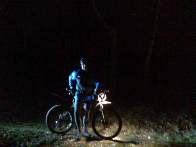
http://www.hegibiketours.de

Galerie du tour

Carte du tour et altitude

  • Open Street Map
  • Google
Minimum height 11 m Maximum height 57 m Vue de détail

More about the tour author

hegi
Member since 2007

Send private message

Commentaires

Start in Lemsahl! In den 30ziger Zonen der Wohngegenden!

Tracks GPS

Trackpoints
  • GPX / Garmin Map Source (gpx) download
  • TCX / Garmin Training Center® (tcx) download
  • CRS / Garmin Training Center® (crs) download
  • Google Earth (kml) download
  • G7ToWin (g7t) download
  • TTQV (trk) download
  • Overlay (ovl) download
  • Fugawi (txt) download
  • Kompass (DAV) Track (tk) download
  • Feuille de tours (pdf) download
  • Original file of the author (gpx) download

More about the tour author

hegi
Member since 2007

Send private message
Share track
Add to my favorites
Remove from my favorites
Edit tags
My score
Rate
Tour: Trail-Dunkeltour im Alstertal und den Walddörfern
Cat.: Mountainbike
Longueur: 37,0 km
Evaluated on:
Durée:
Day(s)
Hour(s)
Minute(s)
Evaluation: Paysage Aspect amusement Condition Technique