


Vom Parkplatz in den Ort, nach links über Bächlein durch Gasse zum Kleinsendelbacher Weg. Am Ortsende links und dann rechts auf Fahrweg weiter. Auf der Höhe am Ende eines Kirschgartens links ab und auf diesem Weg an Kirschbäumen vorbei fast eben dahin. Bald nach einem großen Kirschgarten rechts abwärts nach Oberlindelbach. An Straße rechts durch den Ort (schöne Einkehrmöglichkeit/ selbstgebrannte Schnäpse im "Schwarzes Roß" ab Mittwoch 17h), auf Großenbucher Weg zurück auf die Anhöhe, direkt an Kreuzung links ab in den Wald und in diesem abwärts zum Etlaswinder Weg. Auf diesem rechts nach Großenbuch zurück.
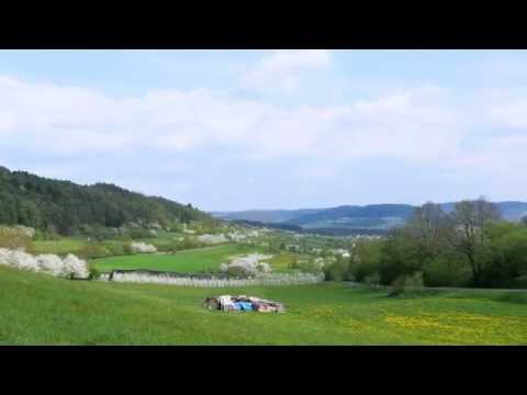
Galerie du tour


Carte du tour et altitude
Minimum height 357 m
Maximum height 490 m
More about the tour author
|
|
heinz-57 |
Commentaires

Von Forchheim kommend in Neunkirchen am Brand an Einmündung vor dem Rathaus links ab und bald wieder links Richtung "Rödlas, Ermreuth". Nach Ortsende an Linkskurve bei Großenbuch Parkplatz an rechter Seite bei Kapelle.
Tracks GPS
Trackpoints-
GPX / Garmin Map Source (gpx) download
-
TCX / Garmin Training Center® (tcx) download
-
CRS / Garmin Training Center® (crs) download
-
Google Earth (kml) download
-
G7ToWin (g7t) download
-
TTQV (trk) download
-
Overlay (ovl) download
-
Fugawi (txt) download
-
Kompass (DAV) Track (tk) download
-
Feuille de tours (pdf) download
-
Original file of the author (gpx) download
More about the tour author
|
|
heinz-57 |
Add to my favorites
Remove from my favorites
Edit tags
Open track
My score
Rate