Login

Login oublié ?

Cookies have to be accepted!
Your browser's cookie functionality is disabled. Please enable this functionality.

Not a member yet?

Register now
Login

Available for registred users only

Log in to use this feature.

Login oublié ?

Cookies have to be accepted!
Your browser's cookie functionality is disabled. Please enable this functionality.

Not a member yet?

Register now
Filter
Catégories
Advanced filters
  • Longueur (km)
  • Altimètre
Enregistrer le filtre Reset filter

TrackRank

QRCode

Technical data

Longueur31,3 km Altimètre701 m Way down699 m Durée02:15 h:m Date20.04.2014
Evaluations Author User Paysage Aspect amusement Condition Technique

Statistiques

655 Vues 2 Evaluations 115 Téléchargements 4.00 Moyenne
Rate
  • Feuille de tours
  • Arrivée
  • Téléchargements


Start/Ziel dieser RundTour ist in Aachen Parkplatz Siegel.

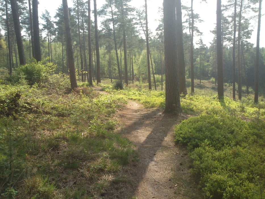
Das Ziel war es eine schnelle Runde mit möglichst vielen Trails zu fahren. (Bevor es zur Oster-Familienfeier geht)

Rausgekommen sind 31km mit mehr als 800hm.

Carte du tour et altitude

  • Open Street Map
  • Google
Minimum height 212 m Maximum height 369 m Vue de détail

More about the tour author

hilli_ac
Member since 2010

Send private message

Commentaires

michaelveigel on 25.02.2017

Schön&Einfach&wenig Straße

Danke für die Tour. Bin ich heute gefahren. Bei Bombenwetter. Schöne Tour mit Höhenmetern, keine Schwierigkeiten.

Tracks GPS

Trackpoints
  • GPX / Garmin Map Source (gpx) download
  • TCX / Garmin Training Center® (tcx) download
  • CRS / Garmin Training Center® (crs) download
  • Google Earth (kml) download
  • G7ToWin (g7t) download
  • TTQV (trk) download
  • Overlay (ovl) download
  • Fugawi (txt) download
  • Kompass (DAV) Track (tk) download
  • Feuille de tours (pdf) download
  • Original file of the author (gpx) download

More about the tour author

hilli_ac
Member since 2010

Send private message
Share track
Add to my favorites
Remove from my favorites
Edit tags
My score
Rate
Tour: Ostertrails 2014
Cat.: Mountainbike
Longueur: 31,3 km
Evaluated on:
Durée:
Day(s)
Hour(s)
Minute(s)
Evaluation: Paysage Aspect amusement Condition Technique