


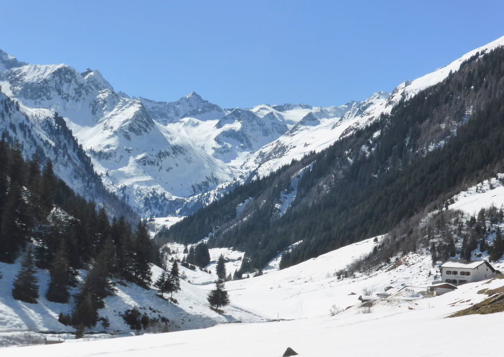
Die Tour beginnt in Milders im Stubaital an der Bushaltestelle "Milders Brücke" und führt ins Oberbergtal über den Alpengasthof Bärenbad nach Seduck und weiter bis zur Stöckleralm.
Further information at
http://www.kompass.de/touren-detail/tour/ins-oberbergtal.htmlGalerie du tour


Carte du tour et altitude
Minimum height 974 m
Maximum height 1616 m
More about the tour author
|
|
horst1508 |
Commentaires

Mit dem Auto von Innsbruck über die A3 ins Stubaital über die B189 nach Milders (circa 30 Minuten)
Mit öffentlichen Verkehrsmitteln, z. B. der Buslinie St der Innsbrucker Verkehrsbetriebe vom Hauptbahnhof in Innsbruck in circa 45 Minuten nach Milders-Brücke
Tracks GPS
Trackpoints-
GPX / Garmin Map Source (gpx) download
-
TCX / Garmin Training Center® (tcx) download
-
CRS / Garmin Training Center® (crs) download
-
Google Earth (kml) download
-
G7ToWin (g7t) download
-
TTQV (trk) download
-
Overlay (ovl) download
-
Fugawi (txt) download
-
Kompass (DAV) Track (tk) download
-
Feuille de tours (pdf) download
-
Original file of the author (gpx) download
More about the tour author
|
|
horst1508 |
Add to my favorites
Remove from my favorites
Edit tags
Open track
My score
Rate