Login

Login oublié ?

Cookies have to be accepted!
Your browser's cookie functionality is disabled. Please enable this functionality.

Not a member yet?

Register now
Login

Available for registred users only

Log in to use this feature.

Login oublié ?

Cookies have to be accepted!
Your browser's cookie functionality is disabled. Please enable this functionality.

Not a member yet?

Register now
Filter
Catégories
Advanced filters
  • Longueur (km)
  • Altimètre
Enregistrer le filtre Reset filter

TrackRank

QRCode

Technical data

Longueur15,0 km Altimètre289 m Way down877 m Durée04:36 h:m Date24.04.2014
Evaluations Author Paysage Aspect amusement Condition Technique

Statistiques

220 Vues Evaluations 15 Téléchargements Moyenne
Rate
  • Feuille de tours
  • Arrivée
  • Téléchargements
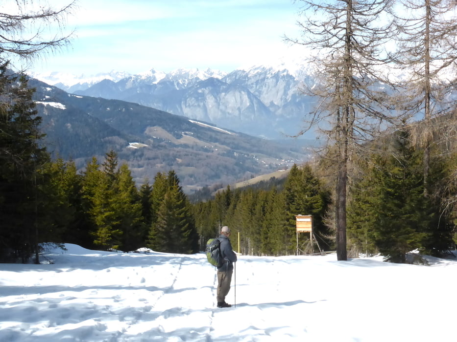
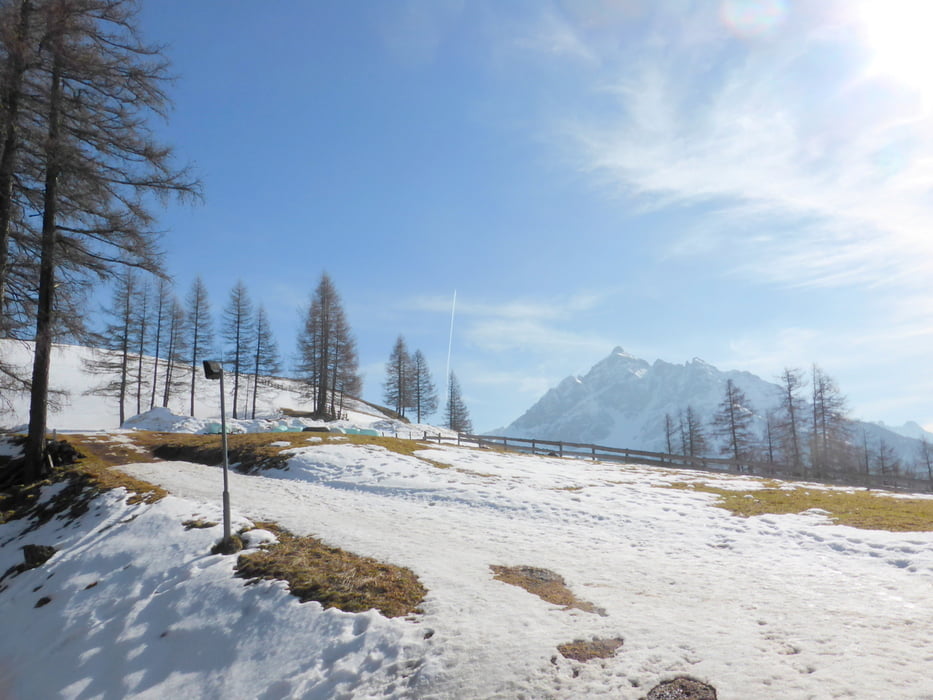
Ausgangspunkt ist im Stubaital die Hochserles Bergbahn in Miedes im Stutbaital. Sie bringt uns zur Bergstation, von wo wir nach Kloster Maria Waldrast (Einkehrmöglichkeit) wandern und vvondort weiter über den Gleinser Hof nach Schönberg

Galerie du tour

Carte du tour et altitude

  • Open Street Map
  • Google
Minimum height 1015 m Maximum height 1785 m Vue de détail

More about the tour author

horst1508
Member since 2012

Send private message

Commentaires

von Innsbruck mit dem Auto nicht mal 1/2 Stunde ins Stubaital

Der Bus der Innsbrucker Verkerhsbetriebe ST braucht etwas mehr.


Tracks GPS

Trackpoints
  • GPX / Garmin Map Source (gpx) download
  • TCX / Garmin Training Center® (tcx) download
  • CRS / Garmin Training Center® (crs) download
  • Google Earth (kml) download
  • G7ToWin (g7t) download
  • TTQV (trk) download
  • Overlay (ovl) download
  • Fugawi (txt) download
  • Kompass (DAV) Track (tk) download
  • Feuille de tours (pdf) download
  • Original file of the author (gpx) download

More about the tour author

horst1508
Member since 2012

Send private message
Share track
Add to my favorites
Remove from my favorites
Edit tags
My score
Rate
Tour: Stubaital: Hochserlers Bergstation-Kloster Maria Waldrast-Schönberg
Cat.: Randonnées
Longueur: 15,0 km
Evaluated on:
Durée:
Day(s)
Hour(s)
Minute(s)
Evaluation: Paysage Aspect amusement Condition Technique