
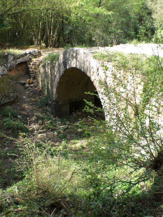

vom Camping Tahiti aif der Strasse über Calice Ligure nach Orco. Kurz vor Costa Villa gehts dann links in ein kleines Sträßchen rein, das dann bald darauf zum Fahrweg wird. Auf diesem bis zum Refugio San Giacomo. Auf der via Liguria hinab ca. 500 m. Wo dann links ab ein kaum sichtbarer Singletrail abbiegt.Er endet erst kurz vor Feligno. In Felingo gehts dann wieder auf Asphalt bergauf bis Cia. Von da auf einem schönen ebenen Singletrail zum Castel Gavone. Von hier dann hinab nach Final Borgo.
Galerie du tour


Carte du tour et altitude
Minimum height 7 m
Maximum height 804 m
More about the tour author
|
|
Fruehaufsteher |
Commentaires
Tracks GPS
Trackpoints-
GPX / Garmin Map Source (gpx) download
-
TCX / Garmin Training Center® (tcx) download
-
CRS / Garmin Training Center® (crs) download
-
Google Earth (kml) download
-
G7ToWin (g7t) download
-
TTQV (trk) download
-
Overlay (ovl) download
-
Fugawi (txt) download
-
Kompass (DAV) Track (tk) download
-
Feuille de tours (pdf) download
-
Original file of the author (gpx) download
More about the tour author
|
|
Fruehaufsteher |
Add to my favorites
Remove from my favorites
Edit tags
Open track
My score
Rate
Singletrail gesperrt
Allerdings war der erste Singletrail mit großen Ästen alle 20m versperrt und somit
unfahrbar (Stand August 2015). Die Umfahrung über den Forstweg hat aber auch sehr viel Spaß gemacht. Offline Karte nicht vergessen:-)