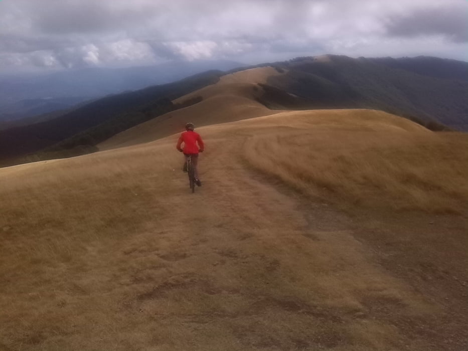
Panoramastrasse Schotter-Asphalt rauf, Gipfeltunnel, rechts durchs Gatter und zum Kreuz. Dann immer oben auf der Wiese lang, bis zuletzt der Weg steil die Kante wieder runter geht.
Nicht schwierig (S2) , meine 13jährige NIchte hatte als Gelegenheitsradlerin keine Probleme und musste nur an zwei drei Steilstücken runter schieben.
Durchweg super Panorama.
Galerie du tour
Carte du tour et altitude
Minimum height 944 m
Maximum height 1582 m
Commentaires

Wanderparkplatz oberhalb Anciolina, Anfahrt über Loro oder San Giustino möglich.
Tracks GPS
Trackpoints-
GPX / Garmin Map Source (gpx) download
-
TCX / Garmin Training Center® (tcx) download
-
CRS / Garmin Training Center® (crs) download
-
Google Earth (kml) download
-
G7ToWin (g7t) download
-
TTQV (trk) download
-
Overlay (ovl) download
-
Fugawi (txt) download
-
Kompass (DAV) Track (tk) download
-
Feuille de tours (pdf) download
-
Original file of the author (gpx) download
Add to my favorites
Remove from my favorites
Edit tags
Open track
My score
Rate


