Login

Login oublié ?

Cookies have to be accepted!
Your browser's cookie functionality is disabled. Please enable this functionality.

Not a member yet?

Register now
Login

Available for registred users only

Log in to use this feature.

Login oublié ?

Cookies have to be accepted!
Your browser's cookie functionality is disabled. Please enable this functionality.

Not a member yet?

Register now
Filter
Catégories
Advanced filters
  • Longueur (km)
  • Altimètre
Enregistrer le filtre Reset filter

TrackRank

QRCode

Technical data

Longueur24,2 km Altimètre692 m Way down460 m Durée02:40 h:m Date05.05.2014
Evaluations Author Paysage Aspect amusement Condition Technique

Statistiques

332 Vues Evaluations 56 Téléchargements Moyenne
Rate
  • Feuille de tours
  • Arrivée
  • Téléchargements

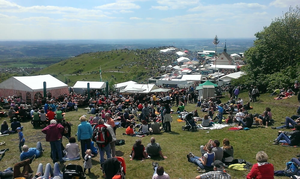
Kurze Rundtour von Kirchehrenbach aus. Haptsächlich Teer. Ab Hetzelsdorf dann schöne Trails bis ins Tal. Bikes in Kirchehrenbach verstaut und dann zu Fuß auf´s Walberla zum Kirchweihfest.


Carte du tour et altitude

  • Open Street Map
  • Google
Minimum height 319 m Maximum height 588 m Vue de détail

More about the tour author

kamrehn
Member since 2010

Send private message

Commentaires

Tracks GPS

Trackpoints
  • GPX / Garmin Map Source (gpx) download
  • TCX / Garmin Training Center® (tcx) download
  • CRS / Garmin Training Center® (crs) download
  • Google Earth (kml) download
  • G7ToWin (g7t) download
  • TTQV (trk) download
  • Overlay (ovl) download
  • Fugawi (txt) download
  • Kompass (DAV) Track (tk) download
  • Feuille de tours (pdf) download
  • Original file of the author (gpx) download

More about the tour author

kamrehn
Member since 2010

Send private message
Share track
Add to my favorites
Remove from my favorites
Edit tags
My score
Rate
Tour: Bike & Hike zum Walberla
Cat.: Mountainbike
Longueur: 24,2 km
Evaluated on:
Durée:
Day(s)
Hour(s)
Minute(s)
Evaluation: Paysage Aspect amusement Condition Technique