


Tolle Radrunde mit allem was das Herz begehrt.
Der erste Teil im Bliestal und zum Niederwürzbacher Weiher ist so richtig zum entspannen. Danach folgt der erste Anstieg bis nach Oberwürzbach.
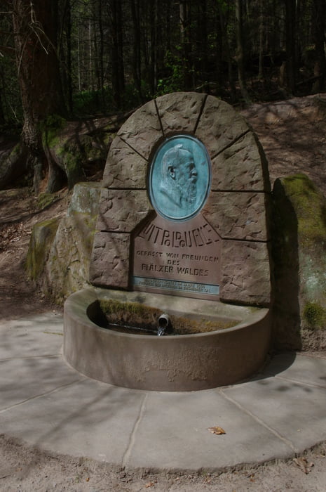
Es folgt der heftigste Anstieg der Runde der nur etwas für Steigungsfanatiker ist. Auf der Höhe ist es dann wieder entspannend bis dann im Zielgebiet ein Wechsel von An- und Abstieg folgt. Landschaftlich ist das Ensheimer Tal mit seinem Brunnenweg ein absolutes Highlight.
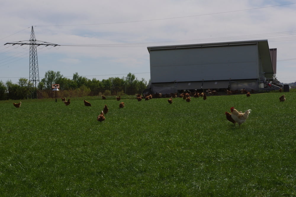
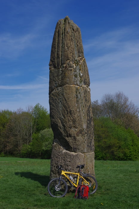
Den Rückweg trat ich weitgehend auf der Höhe an. Ich passierte die Bliesgaumolkerei und wirklich glückliche Hühner auf der Weide bis ich noch den Gollenstein und Blieskastel besuchte.
Zum Schluss versorgte ich mich noch in Einöd beim Globus und hatte eine tolle Runde hinter mir.
In Teilen für Mountainbikes.
Further information at
https://de.wikipedia.org/wiki/HeckendalheimGalerie du tour

Carte du tour et altitude
Minimum height 196 m
Maximum height 421 m
More about the tour author
|
|
Pheinz |
Commentaires

Start in Schwarzenbach.
Tracks GPS
Trackpoints-
GPX / Garmin Map Source (gpx) download
-
TCX / Garmin Training Center® (tcx) download
-
CRS / Garmin Training Center® (crs) download
-
Google Earth (kml) download
-
G7ToWin (g7t) download
-
TTQV (trk) download
-
Overlay (ovl) download
-
Fugawi (txt) download
-
Kompass (DAV) Track (tk) download
-
Feuille de tours (pdf) download
-
Original file of the author (gpx) download
More about the tour author
|
|
Pheinz |
Add to my favorites
Remove from my favorites
Edit tags
Open track
My score
Rate