Login

Login oublié ?

Cookies have to be accepted!
Your browser's cookie functionality is disabled. Please enable this functionality.

Not a member yet?

Register now
Login

Available for registred users only

Log in to use this feature.

Login oublié ?

Cookies have to be accepted!
Your browser's cookie functionality is disabled. Please enable this functionality.

Not a member yet?

Register now
Filter
Catégories
Advanced filters
  • Longueur (km)
  • Altimètre
Enregistrer le filtre Reset filter

TrackRank

QRCode

Technical data

Longueur48,7 km Altimètre279 m Way down382 m Durée02:55 h:m Date13.05.2014
Evaluations Author Paysage Aspect amusement Condition Technique

Statistiques

196 Vues Evaluations 20 Téléchargements Moyenne
Rate
  • Feuille de tours
  • Arrivée
  • Téléchargements
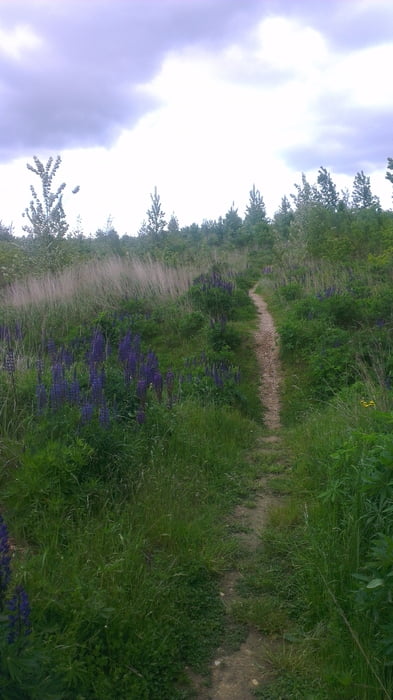
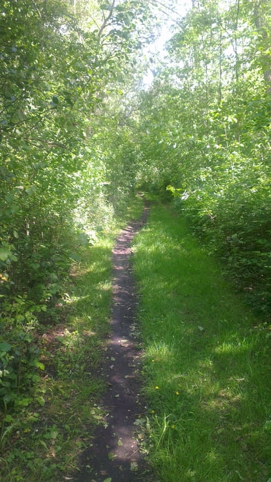
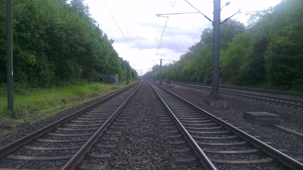
Auf Pfädchensuche Richtung Glessener Höhe. Die Runde am besten von Blatzheim über die Felder nach Sindorf und Oberaussem ( nicht umgekehrt) Am Ende bitte die Steile Treppe und den Bahnübergang vermeiden und den Radweg weiter nach Horrem fahren. Oder natürlich durch den Königsdorfer Wald  zurück. Wanderer sind doch ein schwieriges Volk...kleine Bäumchen von Hand auf den Weg geschmissen, versperren öfters den Weg. Lg Trekremedy

Galerie du tour

Carte du tour et altitude

  • Open Street Map
  • Google
Minimum height 64 m Maximum height 205 m Vue de détail

More about the tour author

trekremedy
Member since 2013

Send private message

Commentaires

Tracks GPS

Trackpoints
  • GPX / Garmin Map Source (gpx) download
  • TCX / Garmin Training Center® (tcx) download
  • CRS / Garmin Training Center® (crs) download
  • Google Earth (kml) download
  • G7ToWin (g7t) download
  • TTQV (trk) download
  • Overlay (ovl) download
  • Fugawi (txt) download
  • Kompass (DAV) Track (tk) download
  • Feuille de tours (pdf) download
  • Original file of the author (gpx) download

More about the tour author

trekremedy
Member since 2013

Send private message
Share track
Add to my favorites
Remove from my favorites
Edit tags
My score
Rate
Tour: QuerbeettoGlessen
Cat.: Mountainbike
Longueur: 48,7 km
Evaluated on:
Durée:
Day(s)
Hour(s)
Minute(s)
Evaluation: Paysage Aspect amusement Condition Technique