


Ausgangspunkt: Grünaubachbrücke in Grünau (511 m), Parkplatz gleich links nach der Brücke in der Sackgasse "Am Grünaubach"
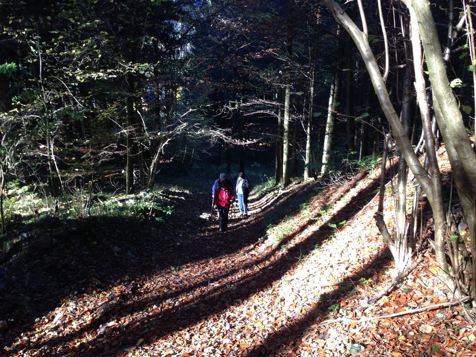
Wege: Güter, Forstwege und einsame Waldwege. Im Bereich des Glöckerls steil und leicht ausgesetzt.
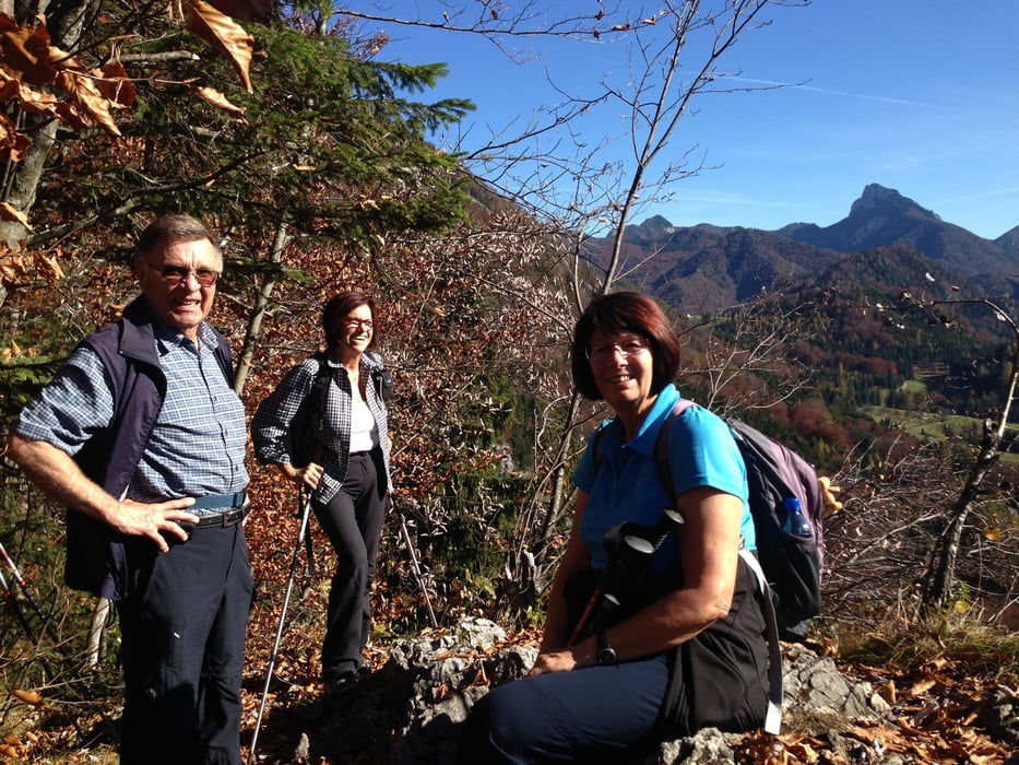
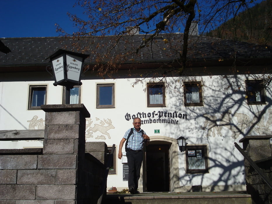
Alles in Allem eine sehr schöne Wanderung mit schönen Aussichten. Ein bisschen Kondition wäre gut. Einkehrmöglichkeit nach ca. 2/3 des Weges (Gh. Enzenbachmühle).
Galerie du tour
Carte du tour et altitude
Minimum height 437 m
Maximum height 807 m
More about the tour author
|
|
5schrittezZ |
Commentaires

A1 Vorchdorf bzw. A9 Ried Traunkreis nach Pettenbach und über Scharnstein nach Grünau, oder mit Almtalbahn Wels - Grünau.
Tracks GPS
Trackpoints-
GPX / Garmin Map Source (gpx) download
-
TCX / Garmin Training Center® (tcx) download
-
CRS / Garmin Training Center® (crs) download
-
Google Earth (kml) download
-
G7ToWin (g7t) download
-
TTQV (trk) download
-
Overlay (ovl) download
-
Fugawi (txt) download
-
Kompass (DAV) Track (tk) download
-
Feuille de tours (pdf) download
-
Original file of the author (gpx) download
More about the tour author
|
|
5schrittezZ |
Add to my favorites
Remove from my favorites
Edit tags
Open track
My score
Rate