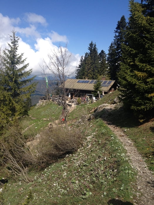
Mittenwald-Brunnsteinhütte-Mittenwald
Die Tour startet von Mittenwald, Innsbrucker Straße. Wir laufen durch die Unterführung der Umgehungsstraße und halte uns danach rechts, Richtung Brunnsteinhütte (blaue Route).
Die Sulzeklamm kann man einmal zu Fuß und einmal über die neue Hängebrücke passieren. Wir haben einfach beides ausprobiert :-)
Einfache, schöne Tour, tolle Aussicht, ca. 750 Höhenmeter, ca. 12 Km, Nettogehzeit 3,5 h
Kann man sehr gut auch mit Hund gehen.
Further information at
http://www.brunnsteinhuette.deGalerie du tour
Carte du tour et altitude
Minimum height 894 m
Maximum height 1632 m
Commentaires

Ausgangspunkt: Mittenwald, Innsbrucker Straße
Tracks GPS
Trackpoints-
GPX / Garmin Map Source (gpx) download
-
TCX / Garmin Training Center® (tcx) download
-
CRS / Garmin Training Center® (crs) download
-
Google Earth (kml) download
-
G7ToWin (g7t) download
-
TTQV (trk) download
-
Overlay (ovl) download
-
Fugawi (txt) download
-
Kompass (DAV) Track (tk) download
-
Feuille de tours (pdf) download
-
Original file of the author (gpx) download
Add to my favorites
Remove from my favorites
Edit tags
Open track
My score
Rate


