


Von Zeil am Main über den Main nach Sand. Weiter nach Zell am Ebersberg.Dem Ebersberg hoch nach Oberschleichach, Ortsmitte rechts ab. Die "Wand" hoch über die Steigerwaldhöhenstrasse nach Fabrikschleich und weiter nach Untersteinbach. Auf dem guten Radweg im Tal der rauhen Ebrach bis nach Prölsdorf, dort nördlich weiter, hoch nach Dankenfeld und runter bis Tretzendorf. Wieder hoch und über Weissbrunn runter ins Maintal nach Dippach. Von da auf dem Maintalradweg zurück nach Zeil.
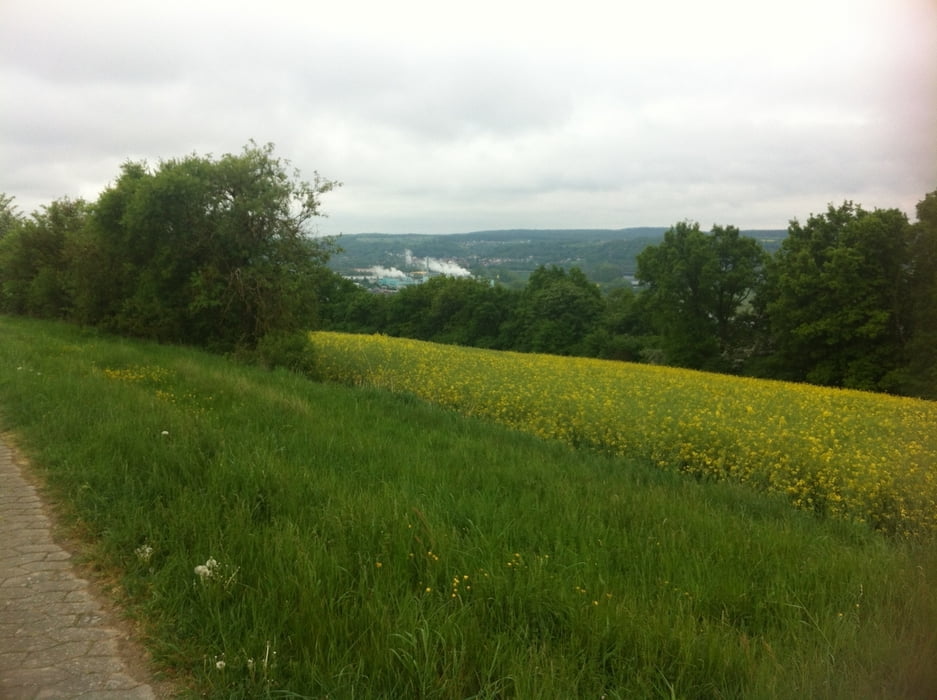
Die Tour führt über ruhige Nebenstrassen über die Höhen und durch die Täler des Steigerwaldes.
Die Steigung in der "Wand" von Unter- nach Fabrikschleich hats in sich!
Ca. 40 % sind schön ausgebaute Radwege.
Galerie du tour
Carte du tour et altitude
Minimum height 218 m
Maximum height 476 m
More about the tour author
|
|
Astro |
Commentaires

Zeil am Main liegt ca. in der Mitte von Schweinfurt und Bamberg an der B26, bzw. A73.
Gut auch mit der Bahn zu erreichen!
Tracks GPS
Trackpoints-
GPX / Garmin Map Source (gpx) download
-
TCX / Garmin Training Center® (tcx) download
-
CRS / Garmin Training Center® (crs) download
-
Google Earth (kml) download
-
G7ToWin (g7t) download
-
TTQV (trk) download
-
Overlay (ovl) download
-
Fugawi (txt) download
-
Kompass (DAV) Track (tk) download
-
Feuille de tours (pdf) download
-
Original file of the author (gpx) download
More about the tour author
|
|
Astro |
Add to my favorites
Remove from my favorites
Edit tags
Open track
My score
Rate