Login

Login oublié ?

Cookies have to be accepted!
Your browser's cookie functionality is disabled. Please enable this functionality.

Not a member yet?

Register now
Login

Available for registred users only

Log in to use this feature.

Login oublié ?

Cookies have to be accepted!
Your browser's cookie functionality is disabled. Please enable this functionality.

Not a member yet?

Register now
Filter
Catégories
Advanced filters
  • Longueur (km)
  • Altimètre
Enregistrer le filtre Reset filter

TrackRank

QRCode

Technical data

Longueur8,7 km Altimètre94 m Way down96 m Durée02:00 h:m Date01.06.2014
Evaluations Author Paysage Aspect amusement Condition Technique

Statistiques

412 Vues Evaluations 34 Téléchargements Moyenne
Rate
  • Feuille de tours
  • Arrivée
  • Téléchargements

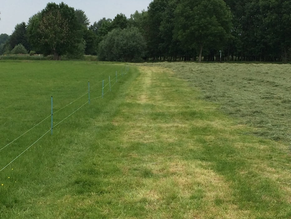
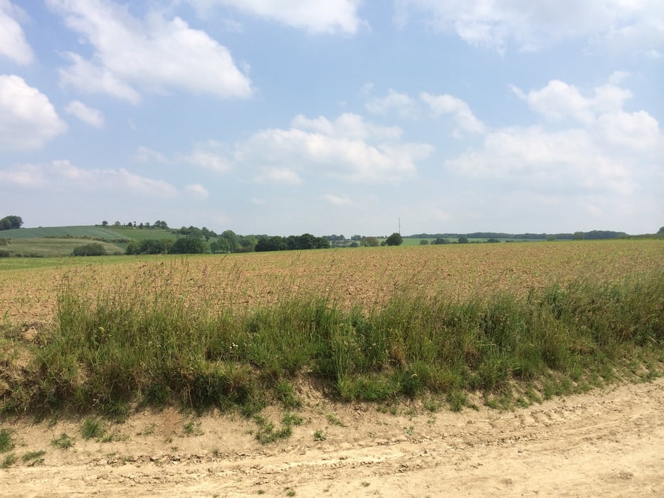
Start/Ziel ist in Wijlre bei Gulpen (NL). Parkmöglichkeit ist im Kerkpad vorhanden.(50.831247, 5.891822)

Von dort aus geht es über Wiesenpfade entlang der Geul Richtung Schin Op Geul. Dann über  Etenaken auf der anderen Geul-Seite zurück nach Wijlre.


Galerie du tour

Carte du tour et altitude

  • Open Street Map
  • Google
Minimum height 78 m Maximum height 156 m Vue de détail

More about the tour author

hilli_ac
Member since 2010

Send private message

Commentaires

Tracks GPS

Trackpoints
  • GPX / Garmin Map Source (gpx) download
  • TCX / Garmin Training Center® (tcx) download
  • CRS / Garmin Training Center® (crs) download
  • Google Earth (kml) download
  • G7ToWin (g7t) download
  • TTQV (trk) download
  • Overlay (ovl) download
  • Fugawi (txt) download
  • Kompass (DAV) Track (tk) download
  • Feuille de tours (pdf) download
  • Original file of the author (gpx) download

More about the tour author

hilli_ac
Member since 2010

Send private message
Share track
Add to my favorites
Remove from my favorites
Edit tags
My score
Rate
Tour: Geul-Tal
Cat.: Randonnées
Longueur: 8,7 km
Evaluated on:
Durée:
Day(s)
Hour(s)
Minute(s)
Evaluation: Paysage Aspect amusement Condition Technique