


Quellen Tour (man kann die Tour auch Wandern)
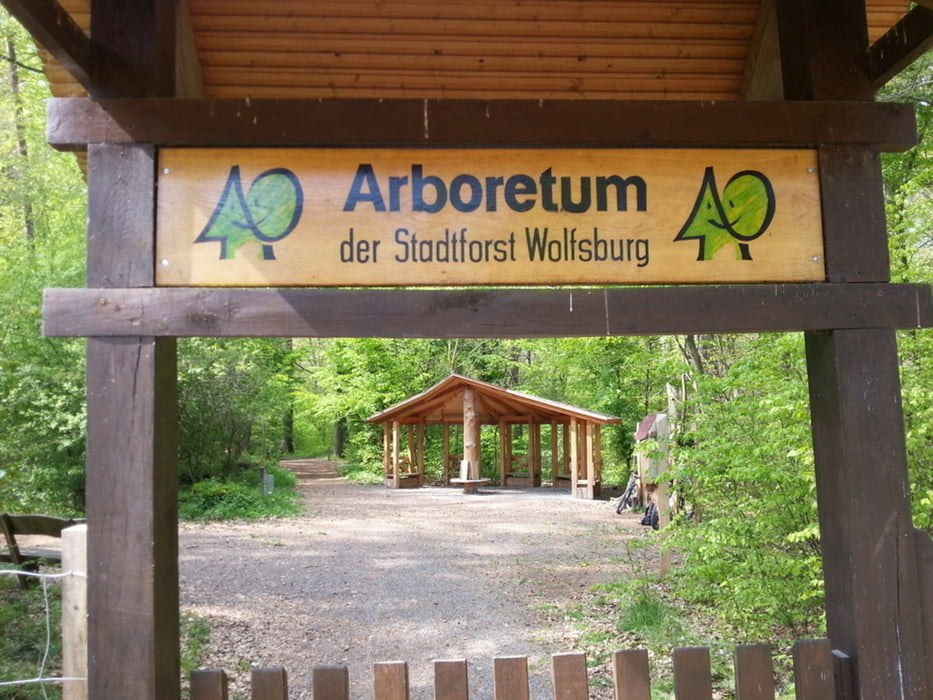
bezieht sich auf das Gebiet bei uns im Stadtwald.
Start und Ziel:
Parkplatz am VW-Bad in Wolfsburg,
wir fahren links am
VW-Bad im Stadtwald lang.
Nachdem wir ein paar Minuten
auf dem Hauptweg gefahren sind,
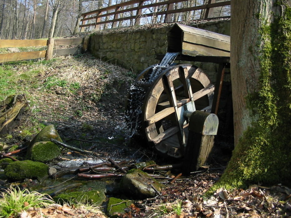
liegt links eine kleine Erfrischung
„Brunnen zum Kaiserstuhl“
damit können wir unsere Wasserflaschen
auffüllen – schmeckt lecker.
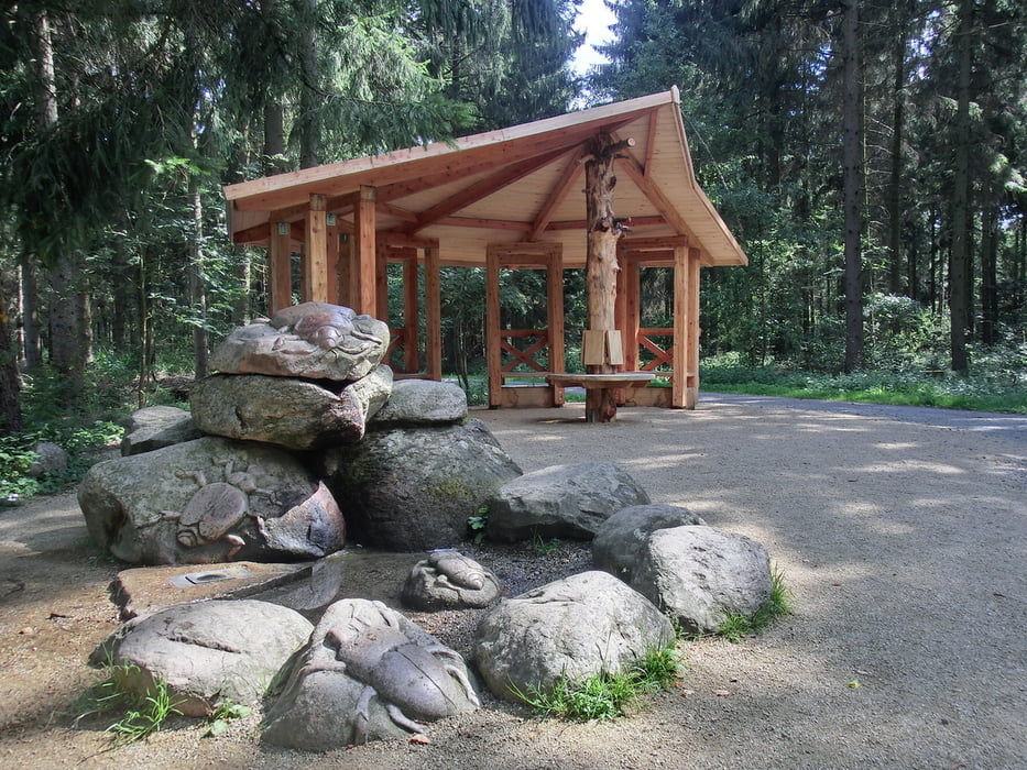
Wir haben von den Brunnen und Quellen
noch mehr bei uns im Wald.
Also verdursten wird man nicht,
Diese Tour ist ca. 15 km lang.
diese und weitere Touren
sowie Fotoshow
von einzelnen Touren
liegen auf meiner Homepage
unter
www.wolfsburg-gps-tour.de
viel Spaß beim nachfahren
Further information at
http://www.wolfsburg-gps-tour.deGalerie du tour
Carte du tour et altitude
Minimum height 65 m
Maximum height 114 m
More about the tour author
|
|
KlausWob |
Commentaires

Tracks GPS
Trackpoints-
GPX / Garmin Map Source (gpx) download
-
TCX / Garmin Training Center® (tcx) download
-
CRS / Garmin Training Center® (crs) download
-
Google Earth (kml) download
-
G7ToWin (g7t) download
-
TTQV (trk) download
-
Overlay (ovl) download
-
Fugawi (txt) download
-
Kompass (DAV) Track (tk) download
-
Feuille de tours (pdf) download
-
Original file of the author (gpx) download
More about the tour author
|
|
KlausWob |
Add to my favorites
Remove from my favorites
Edit tags
Open track
My score
Rate