
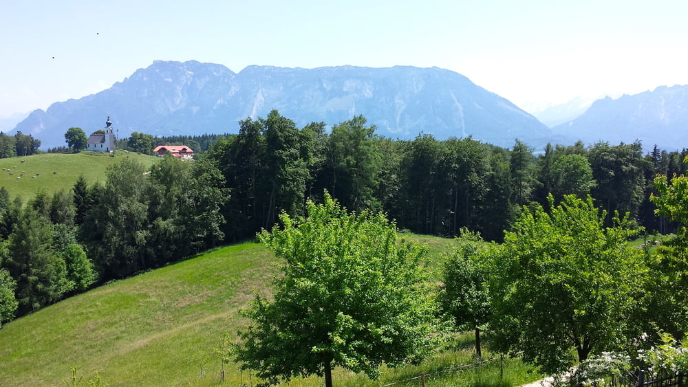

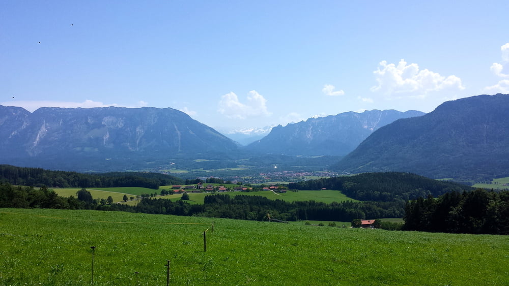
Tolle MTB Runde mit zwei Anstiegen, von denen der erste anfangs etwas knackig ist. Herrliche Strecken auf Waldwegen, ein paar Schotterstücke und asphaltierte Radlwege wechseln sich ab. Die Krönung ist ein super Singletrail nach Ainring (Vorsicht, Pfad nach Ainring ist ausgeschildert, übersieht man aber leicht).
Am Ende wartet die Erfrischung im See und/oder Biergarten.
Galerie du tour
Carte du tour et altitude
Minimum height 517 m
Maximum height 773 m
More about the tour author

|
zarch |
Commentaires

A8 bis Bad Reichenhall, dann Ri Anger zum Kloster Höglwörth. Direkt am Parkplatz startet die Tour.
Tracks GPS
Trackpoints-
GPX / Garmin Map Source (gpx) download
-
TCX / Garmin Training Center® (tcx) download
-
CRS / Garmin Training Center® (crs) download
-
Google Earth (kml) download
-
G7ToWin (g7t) download
-
TTQV (trk) download
-
Overlay (ovl) download
-
Fugawi (txt) download
-
Kompass (DAV) Track (tk) download
-
Feuille de tours (pdf) download
-
Original file of the author (gpx) download
More about the tour author
|
|
zarch |
Add to my favorites
Remove from my favorites
Edit tags
Open track
My score
Rate