


Sehr schöne MTB-Tour mit Start und Ziel Heilbronner Hauptbahnhof (und einer potenziellen Verlängerung nach Bad Friedrichshall/Jagstfeld-Bahnhof).
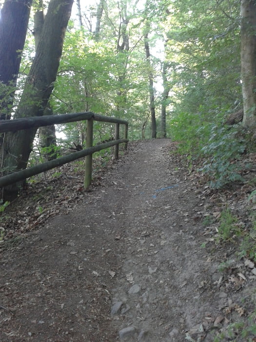
Viel Forstautobahn, aber auch ein paar richtig tolle Singletrails. Die Strecke ist bei schönem Wetter größtenteils ohne besondere technische Fertigkeiten zu bewältigen, nur ein paar Stellen haben´s in sich (können aber leicht zu Fuß bewältigt werden).
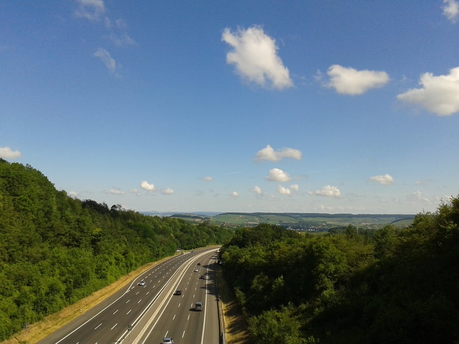
Das letzte Stück ab Heilbronn (Neckar) nach Bad Friedrichhall ist an normalen Tagen nicht zum Nachfahren empfohlen. Heute war die B27 für Autos gesperrt und stattdessen von einer echten Radlerwelle geflutet. Es gibt aber auch einen regulären, ausgeschilderten Radweg von Heilbronn nach Bad Friedrichshall.
Further information at
https://www.komoot.de/tour/3055859Galerie du tour


Carte du tour et altitude
Minimum height 208 m
Maximum height 422 m
More about the tour author
|
|
berwag74 |
Commentaires

Ab Heilbronn Hauptbanhof.
Tracks GPS
Trackpoints-
GPX / Garmin Map Source (gpx) download
-
TCX / Garmin Training Center® (tcx) download
-
CRS / Garmin Training Center® (crs) download
-
Google Earth (kml) download
-
G7ToWin (g7t) download
-
TTQV (trk) download
-
Overlay (ovl) download
-
Fugawi (txt) download
-
Kompass (DAV) Track (tk) download
-
Feuille de tours (pdf) download
-
Original file of the author (gpx) download
More about the tour author
|
|
berwag74 |
Add to my favorites
Remove from my favorites
Edit tags
Open track
My score
Rate