Login

Login oublié ?

Cookies have to be accepted!
Your browser's cookie functionality is disabled. Please enable this functionality.

Not a member yet?

Register now
Login

Available for registred users only

Log in to use this feature.

Login oublié ?

Cookies have to be accepted!
Your browser's cookie functionality is disabled. Please enable this functionality.

Not a member yet?

Register now
Filter
Catégories
Advanced filters
  • Longueur (km)
  • Altimètre
Enregistrer le filtre Reset filter

TrackRank

QRCode

Technical data

Longueur15,0 km Altimètre763 m Way down770 m Durée05:20 h:m Date15.06.2014
Evaluations Author Paysage Aspect amusement Condition Technique

Statistiques

203 Vues Evaluations 10 Téléchargements Moyenne
Rate
  • Feuille de tours
  • Arrivée
  • Téléchargements

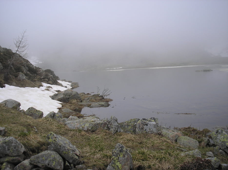
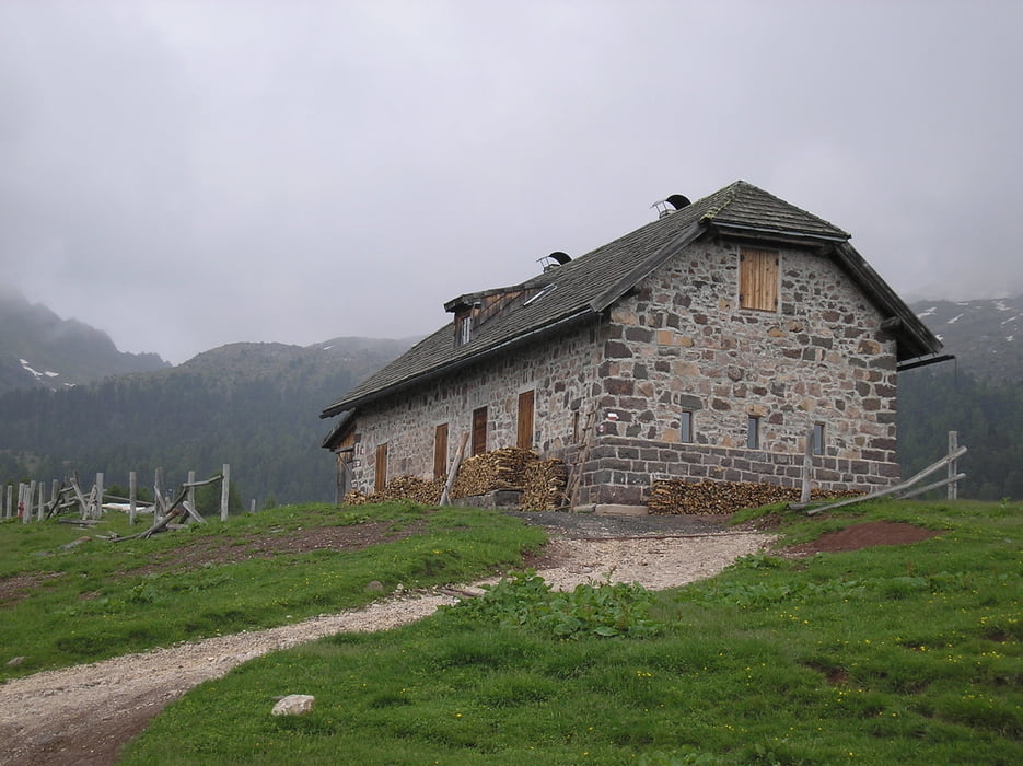
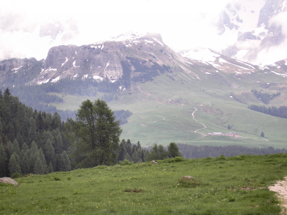
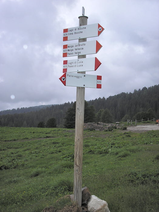
Percorso facile ma abbastanza lungo. Un luogo meraviglioso nel parco del Paneveggio.

Dal punto di vista meteorologico una giornata da lupi!!!


Further information at

http://trekkingintrentino.blogspot.it/2011/10/malga-e-lago-bocche.html

Galerie du tour

Carte du tour et altitude

  • Open Street Map
  • Google
Minimum height 1505 m Maximum height 2256 m Vue de détail

More about the tour author

agosflavio
Member since 2013

Send private message

Commentaires

Tracks GPS

Trackpoints
  • GPX / Garmin Map Source (gpx) download
  • TCX / Garmin Training Center® (tcx) download
  • CRS / Garmin Training Center® (crs) download
  • Google Earth (kml) download
  • G7ToWin (g7t) download
  • TTQV (trk) download
  • Overlay (ovl) download
  • Fugawi (txt) download
  • Kompass (DAV) Track (tk) download
  • Feuille de tours (pdf) download
  • Original file of the author (gpx) download

More about the tour author

agosflavio
Member since 2013

Send private message
Share track
Add to my favorites
Remove from my favorites
Edit tags
My score
Rate
Tour: Escurs. Lago Bocche
Cat.: Randonnées
Longueur: 15,0 km
Evaluated on:
Durée:
Day(s)
Hour(s)
Minute(s)
Evaluation: Paysage Aspect amusement Condition Technique