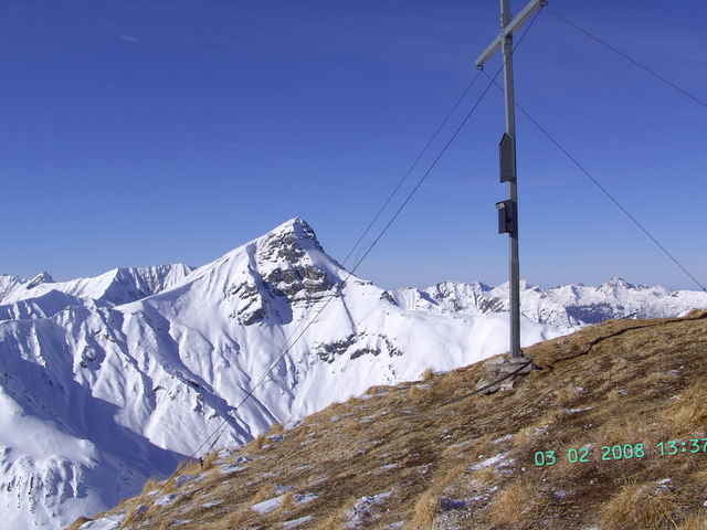
Vom Parkplatz in Namlos die Straße überqueren und rechts neben der Linkskehre den Forstweg nach Südem dem Brennersbach entlang zum Sagboden, dann durch das Faselfeiltal zum Kromsattel und nach Nordwesten den Gipfelhang hoch zum Kreuz.
Galerie du tour
Carte du tour et altitude
Minimum height 1221 m
Maximum height 2341 m
Commentaires

Von Reutte im Tirol in`s Lechtal, in Stanzach links abbiegen in das Namloser Tal, in Namlos gute Parkmöglichkeit.
Tracks GPS
Trackpoints-
GPX / Garmin Map Source (gpx) download
-
TCX / Garmin Training Center® (tcx) download
-
CRS / Garmin Training Center® (crs) download
-
Google Earth (kml) download
-
G7ToWin (g7t) download
-
TTQV (trk) download
-
Overlay (ovl) download
-
Fugawi (txt) download
-
Kompass (DAV) Track (tk) download
-
Feuille de tours (pdf) download
-
Original file of the author (g7t) download
Add to my favorites
Remove from my favorites
Edit tags
Open track
My score
Rate


