

Tranquilla escursione nell'altopiano di Asiago; comunque sempre bella.
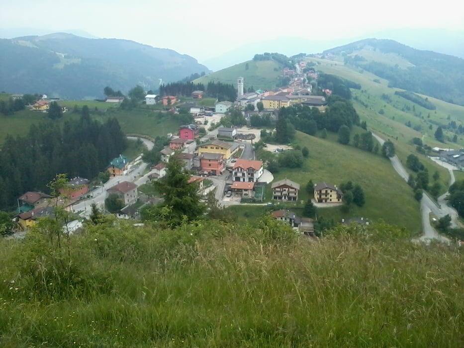
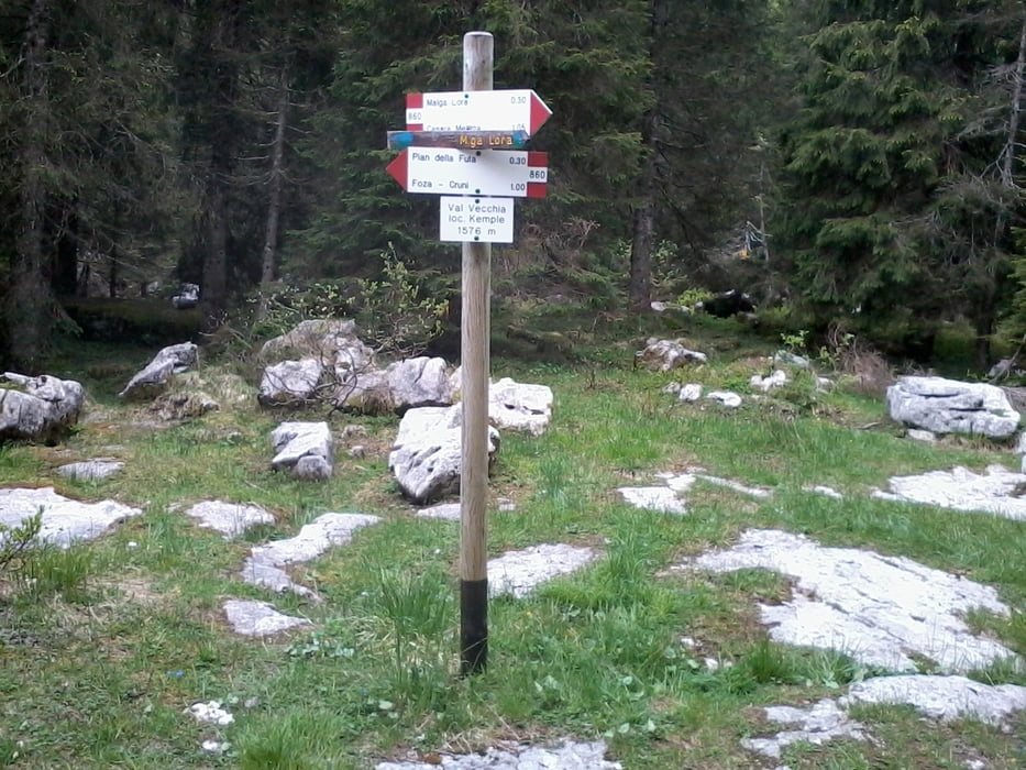
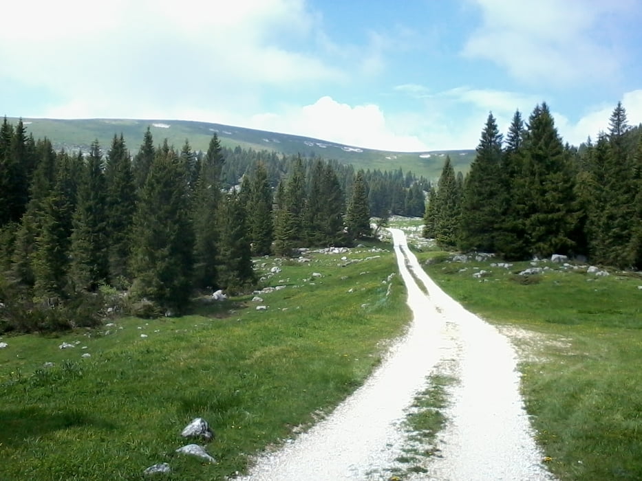
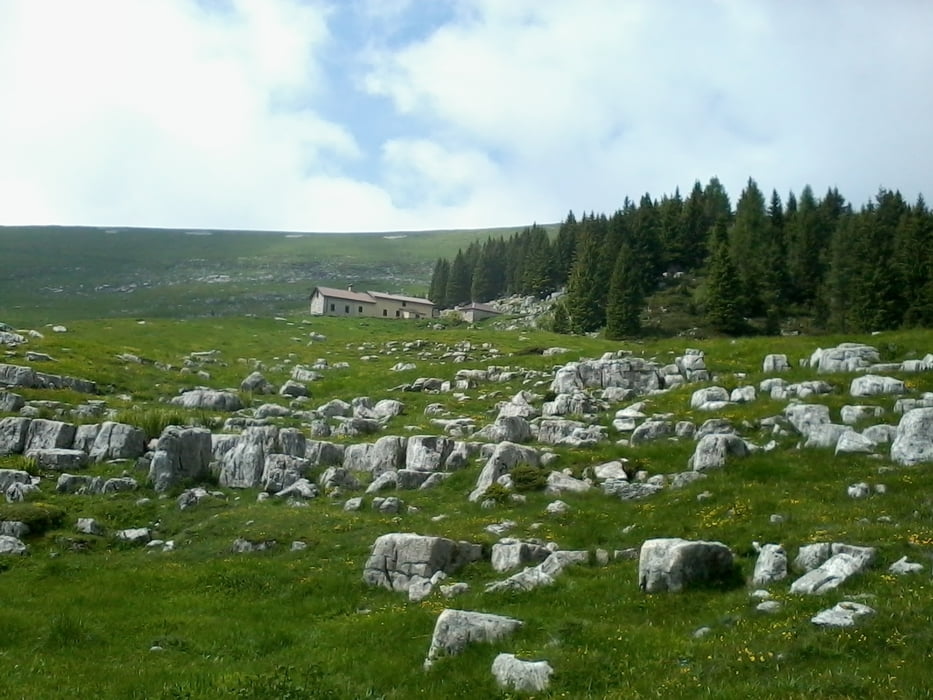
Abbiamo iniziato il percorso dal paesino di Foza per poi inoltrarci nella val Vecchia posando il triste sguardo verso un cimitero militare, passando per malga Lora, fino a lambire la cima del monte Miela per poi raggiungere casara Mellette. Tutte zone di combattimenti della prima guerra mondiale.Da quì con rapida discesa abbiamo raggiunto il punto di partenza.
Further information at
http://www.magicoveneto.it/altipian/Foza/Foza.htmGalerie du tour

Carte du tour et altitude
Minimum height 1086 m
Maximum height 1780 m
More about the tour author
|
|
agosflavio |
Commentaires

Da Bassano del Grappa si prende la strada per Asiago, si procede in direzioneGallio. A Gallio, SI prende la strada per Foza Enego.
Alternativa: da Bassano del Grappa si prende direzione Trento, a 13 Km circa si arriva a Carpanè Valstagna, si attraversa il fiume Brenta e a 15 Km salendo per direzione Gallio Asiago, si giunge a Foza.
Tracks GPS
Trackpoints-
GPX / Garmin Map Source (gpx) download
-
TCX / Garmin Training Center® (tcx) download
-
CRS / Garmin Training Center® (crs) download
-
Google Earth (kml) download
-
G7ToWin (g7t) download
-
TTQV (trk) download
-
Overlay (ovl) download
-
Fugawi (txt) download
-
Kompass (DAV) Track (tk) download
-
Feuille de tours (pdf) download
-
Original file of the author (gpx) download
More about the tour author
|
|
agosflavio |
Add to my favorites
Remove from my favorites
Edit tags
Open track
My score
Rate