

Rother Wanderführer Pyrenäen 1, Tour 22
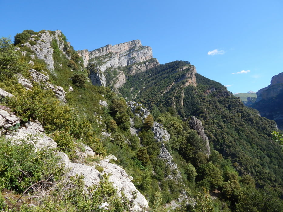
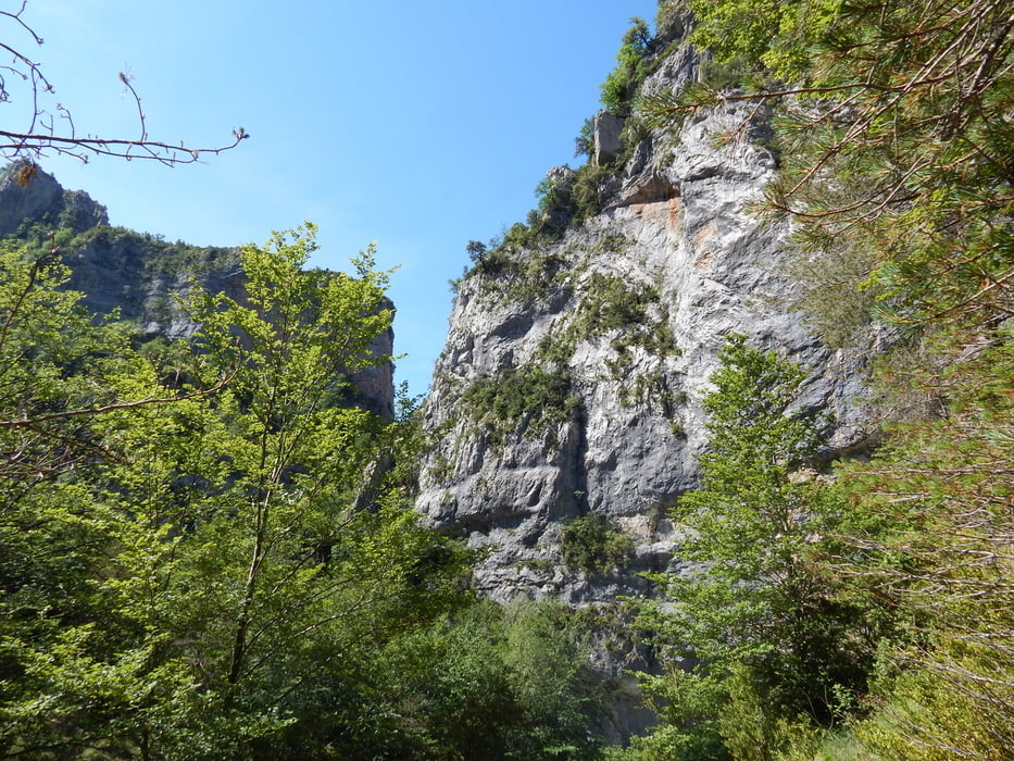
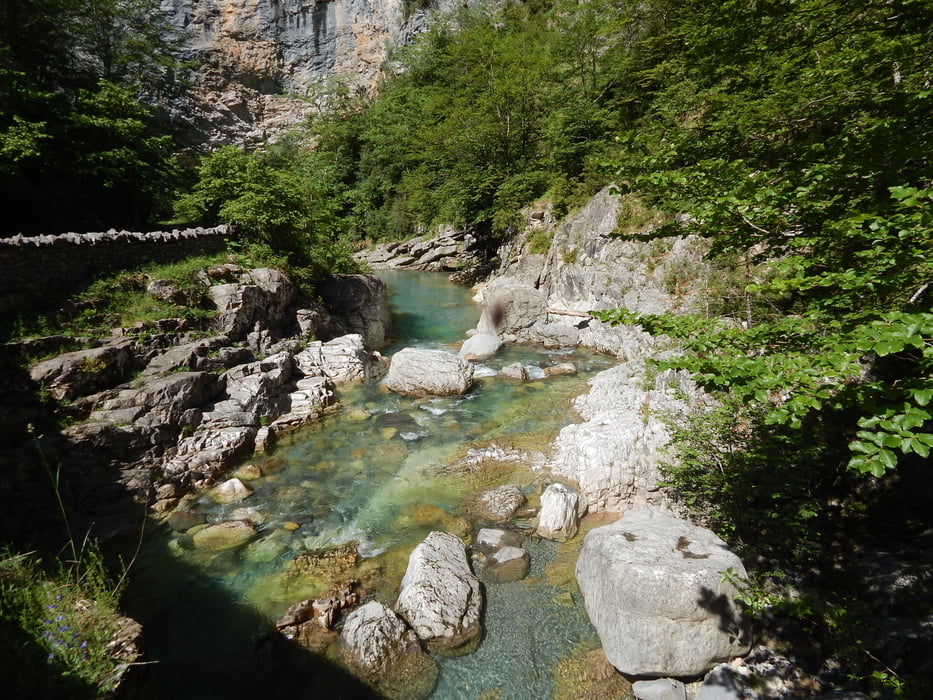
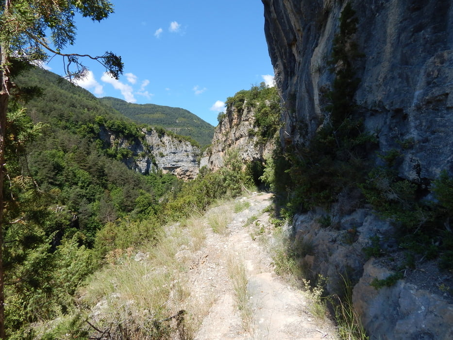
"Kurzweiliger und abwechslungsreicher kann eine Tour kaum sein. Die wenig bekannte Rundtour gibt einen herrlichen Eindruck von der landschaftlichen Vielfalt und besticht durch mehrmaligen Wechsel der Wanderperspektiven: Zuerst geht es hinauf zu dem Örtchen Sercue am Rücken des Mondoto, dann auf einem ausgeklüngelten Weg durch steile Felsklippen hinab zum Anisclo-Canyon, den Rio Bellos entlang uns schließlich auf einem versteckten Faja-Weg über der Viandico-Schlucht zum Ausgang einer Höhle." (Einleitung Rother Tour 22)
Sehr empfehlenswert!!!
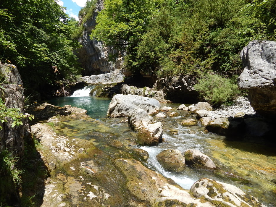
Galerie du tour
Carte du tour et altitude
Minimum height 933 m
Maximum height 1210 m
More about the tour author

|
maps-pw |
Commentaires

Brücke über den Barranco Mallarguero (Pfad mit Wegweiser nach Sercue)
Tracks GPS
Trackpoints-
GPX / Garmin Map Source (gpx) download
-
TCX / Garmin Training Center® (tcx) download
-
CRS / Garmin Training Center® (crs) download
-
Google Earth (kml) download
-
G7ToWin (g7t) download
-
TTQV (trk) download
-
Overlay (ovl) download
-
Fugawi (txt) download
-
Kompass (DAV) Track (tk) download
-
Feuille de tours (pdf) download
-
Original file of the author (gpx) download
More about the tour author
|
|
maps-pw |
Add to my favorites
Remove from my favorites
Edit tags
Open track
My score
Rate