Login

Login oublié ?

Cookies have to be accepted!
Your browser's cookie functionality is disabled. Please enable this functionality.

Not a member yet?

Register now
Login

Available for registred users only

Log in to use this feature.

Login oublié ?

Cookies have to be accepted!
Your browser's cookie functionality is disabled. Please enable this functionality.

Not a member yet?

Register now
Filter
Catégories
Advanced filters
  • Longueur (km)
  • Altimètre
Enregistrer le filtre Reset filter

TrackRank

QRCode

Technical data

Longueur47,5 km Altimètre537 m Way down560 m Durée03:04 h:m Date23.06.2014
Evaluations Author Paysage Aspect amusement Condition Technique

Statistiques

346 Vues Evaluations 24 Téléchargements Moyenne
Rate
  • Feuille de tours
  • Arrivée
  • Téléchargements

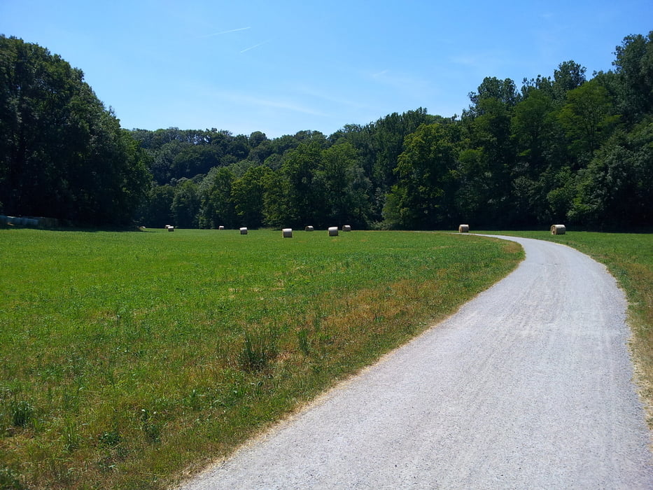
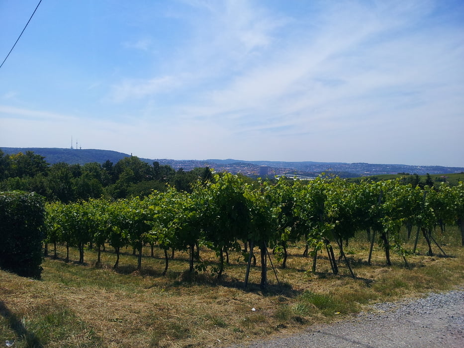
Runter zum Neckar. Am Fluß entlang bis zur Rems, dann an der Rems entlang bis Waiblingen und dann über Rommelshausen und Stuggi Untertürkheim zurück am Neckar entlang nach Kornwestheim.

Schöne Täler, wenig Straße oder Stadt.


Galerie du tour

Carte du tour et altitude

  • Open Street Map
  • Google
Minimum height 260 m Maximum height 380 m Vue de détail

More about the tour author

scheiderer
Member since 2009

Send private message

Commentaires

Tracks GPS

Trackpoints
  • GPX / Garmin Map Source (gpx) download
  • TCX / Garmin Training Center® (tcx) download
  • CRS / Garmin Training Center® (crs) download
  • Google Earth (kml) download
  • G7ToWin (g7t) download
  • TTQV (trk) download
  • Overlay (ovl) download
  • Fugawi (txt) download
  • Kompass (DAV) Track (tk) download
  • Feuille de tours (pdf) download
  • Original file of the author (gpx) download

More about the tour author

scheiderer
Member since 2009

Send private message
Share track
Add to my favorites
Remove from my favorites
Edit tags
My score
Rate
Tour: Rundkurs Kornwestheim nach Rommelshausen
Cat.: Mountainbike
Longueur: 47,5 km
Evaluated on:
Durée:
Day(s)
Hour(s)
Minute(s)
Evaluation: Paysage Aspect amusement Condition Technique