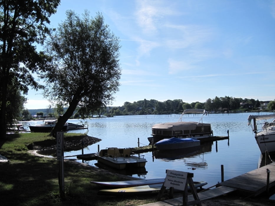
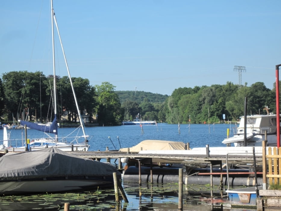
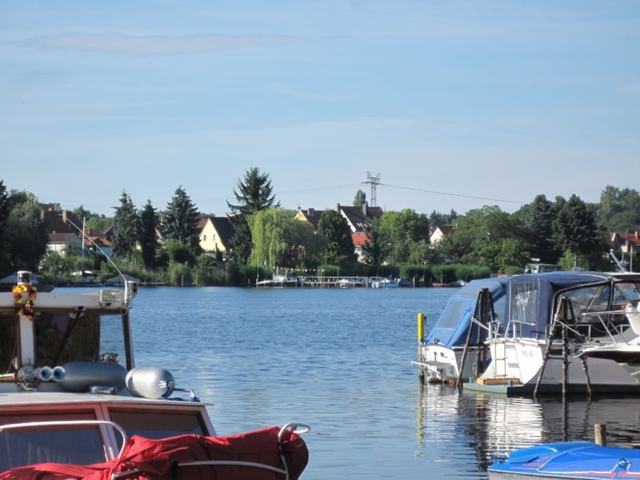
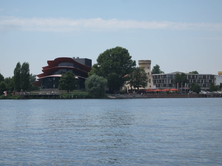
Wir umfahren den Schäferberg, umrunden die Pfaueninsel und kommen unter der Glienickerbrücke durch. Wieder wird im tiefen See angelegt zur Badepause. Die Tour geht weiter an Potsdam vorbei nach Caputh.
Galerie du tour
Carte du tour et altitude
Minimum height 17 m
Maximum height 51 m
Commentaires

Bahnhof in Caputh bietet Anschluß nach Potsdam und damit nach Brandenburg und Kirchmöser. Der Kreis "Auf der Havel nach Berlin" schließt sich.
Tracks GPS
Trackpoints-
GPX / Garmin Map Source (gpx) download
-
TCX / Garmin Training Center® (tcx) download
-
CRS / Garmin Training Center® (crs) download
-
Google Earth (kml) download
-
G7ToWin (g7t) download
-
TTQV (trk) download
-
Overlay (ovl) download
-
Fugawi (txt) download
-
Kompass (DAV) Track (tk) download
-
Feuille de tours (pdf) download
-
Original file of the author (gpx) download
Add to my favorites
Remove from my favorites
Edit tags
Open track
My score
Rate


