


Gmünd-Eisentratten über Hochofenweg-Nöringer Sattel-Thomannbauerhütte
Lamprechthütte-Thomannbauerhütte-Lämmerhütte-Kaning-Petodnighütte-
Erlacher Haus(Schiebung Anf)-Osw. Bockhütte-Osw.Bocksattel (Schiebung Ende)-
Wollitzenhütte-Grundalm-Steigerhütte-Leobengraben-Eisentratten-Gmünd
S0-S2
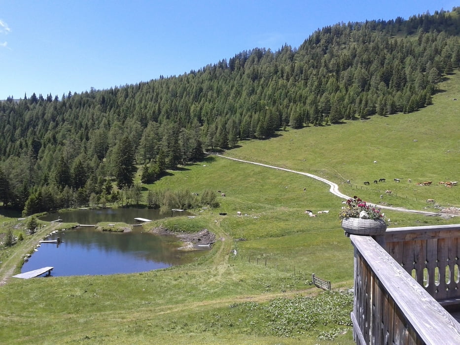
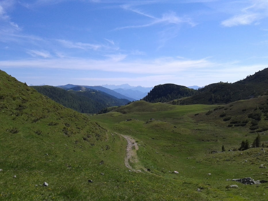
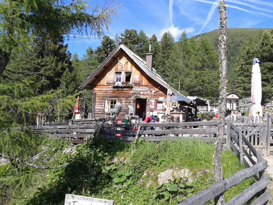
Eine sehr lohnende Runde in malerischer Landschaft und mit vielen einladenden Hütten.
Lamprechthütte zu empfehlen! Ca 1 Std Schiebung vom Erlacher Haus bis zum Bocksattel, kurze Stücke sind fahrbar.
Coole Abfahrt bis zur Wollitzenhütte, dann ein paar km auf der Nockalmstarße,
anschließend in den Leobengraben viele km Schotter. Letztes Stück auf der Straße zurück nach Gmünd.
Galerie du tour
Carte du tour et altitude
Minimum height 745 m
Maximum height 1982 m
More about the tour author
|
|
mitter |
Commentaires

Start in Gmünd beim Porsche Museum.
Tracks GPS
Trackpoints-
GPX / Garmin Map Source (gpx) download
-
TCX / Garmin Training Center® (tcx) download
-
CRS / Garmin Training Center® (crs) download
-
Google Earth (kml) download
-
G7ToWin (g7t) download
-
TTQV (trk) download
-
Overlay (ovl) download
-
Fugawi (txt) download
-
Kompass (DAV) Track (tk) download
-
Feuille de tours (pdf) download
-
Original file of the author (gpx) download
More about the tour author
|
|
mitter |
Add to my favorites
Remove from my favorites
Edit tags
Open track
My score
Rate