


St. Martin-Neuseßrunde-Steindorf-Fanning-Weißpriach-
Grangler Hütte-Ulnhütte-Oberhütte-Vögeialm-Forstau-
Radstadt-Altenmarkt-Flachau-Wagrain
S0
Gute Neuseßrunde (Lungau extrem), Weißpriachtal zunächst einige Straßen-km, dann Forstweg (Longa Route).
Ab Ulnhütte Fahrverbot, am Ende des Forstweges ca, 1 Std Schiebung bis zum Oberseesattel.
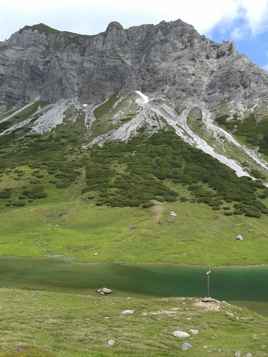
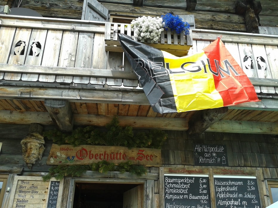
Wunderbare Oberhütte mit prächtigem Panorama! Forststraße hinunter nach Forstau - bis zur Vögeialm steil, dann flach).
Ab Radstadt Radweg bis Wagrain.
Insgesamt ein bisschen zu viel Straße, aber trotzdem sehr ansprechende Tour.
Galerie du tour

Carte du tour et altitude
Minimum height 832 m
Maximum height 1874 m
More about the tour author
|
|
mitter |
Commentaires

Start in St. Martin (Nähe St. Michael).
Tracks GPS
Trackpoints-
GPX / Garmin Map Source (gpx) download
-
TCX / Garmin Training Center® (tcx) download
-
CRS / Garmin Training Center® (crs) download
-
Google Earth (kml) download
-
G7ToWin (g7t) download
-
TTQV (trk) download
-
Overlay (ovl) download
-
Fugawi (txt) download
-
Kompass (DAV) Track (tk) download
-
Feuille de tours (pdf) download
-
Original file of the author (gpx) download
More about the tour author
|
|
mitter |
Add to my favorites
Remove from my favorites
Edit tags
Open track
My score
Rate