

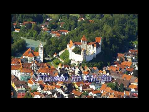
rundstrecke von allgäu nach tirol und zurück - start und ziel in füssen
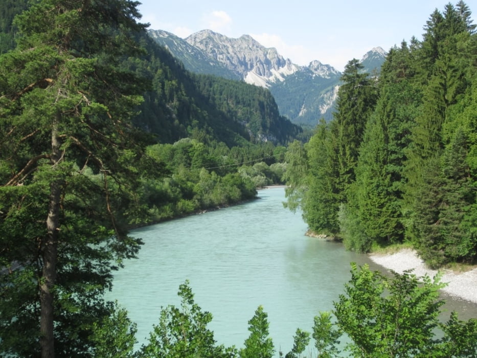
schöne strecke die einiges an kondition verlangt, entlang der B198 nach lech leider starker straßenverkehr, im bereich gaichtpass und unterjoch sind viele motorräder unterwegs (die schöne landschaft entschädigt), nach dem unterjoch bis zum weißensee weniger verkehr und angenehme abfahrt.
streckenführung:
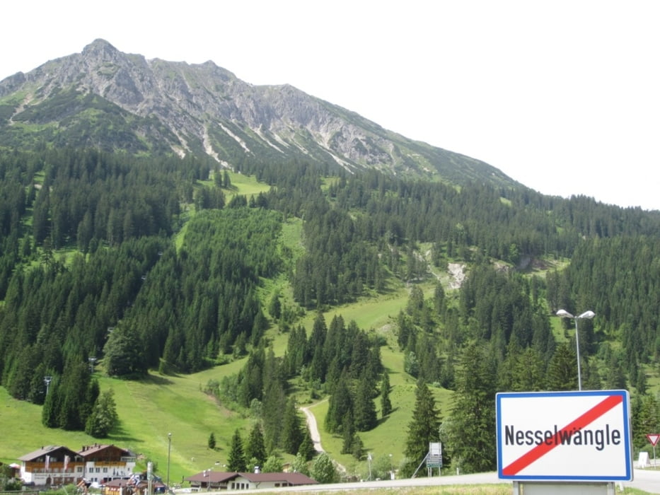
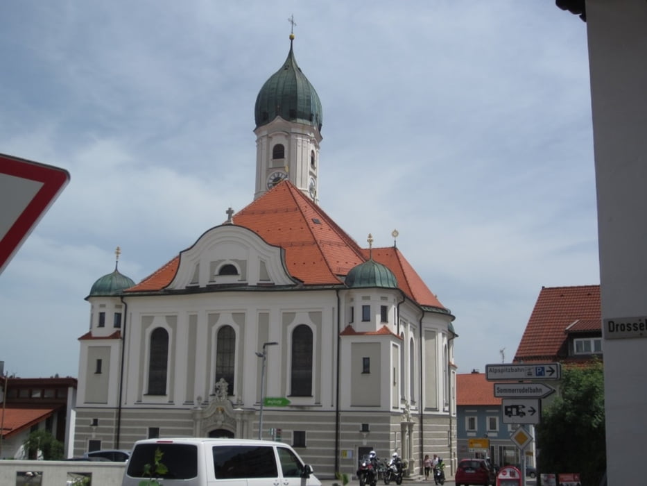
füssen - lech - nesselwängle - vils - oberjoch - unterjoch - enthalb der ach - nesselwang - zell - weissensee - füssen
Further information at
http://www.fuessen.de/Galerie du tour


Carte du tour et altitude
Minimum height 795 m
Maximum height 1171 m
More about the tour author
|
|
der_Bergverfuehrer |
Commentaires

münchen - A96 - landsberg - B17 - schongau - B17 - füssen
Tracks GPS
Trackpoints-
GPX / Garmin Map Source (gpx) download
-
TCX / Garmin Training Center® (tcx) download
-
CRS / Garmin Training Center® (crs) download
-
Google Earth (kml) download
-
G7ToWin (g7t) download
-
TTQV (trk) download
-
Overlay (ovl) download
-
Fugawi (txt) download
-
Kompass (DAV) Track (tk) download
-
Feuille de tours (pdf) download
-
Original file of the author (gpx) download
More about the tour author
|
|
der_Bergverfuehrer |
Add to my favorites
Remove from my favorites
Edit tags
Open track
My score
Rate