
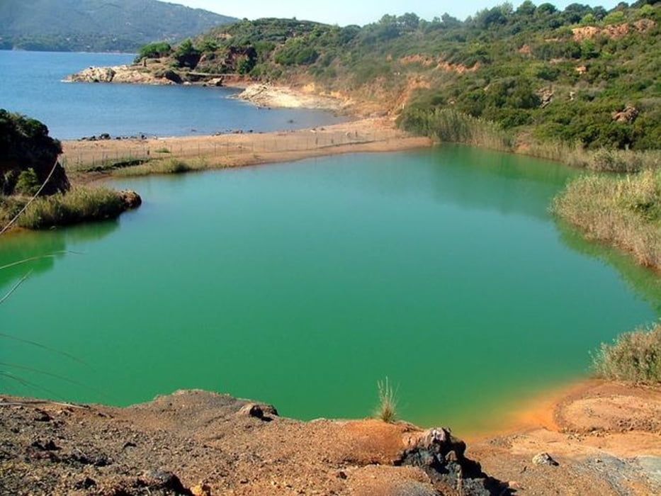

ARLECCHINO TRAIL: NE VEDRETE DI TUTTI I COLORI. DAL SINGLE TRACK TECNICO ALLA DISCESA ASFALTATA PASSANDO PER CARRARECCE STORICHE. DALLE SALITE PEDALABILI E PROGRESSIVE AGLI STRAPPI AL 30%. DALLE CIME DELLE MONTAGNE ALLE SPIAGGE IN RIVA AL MARE. DA PERCORSI ORIENTERING AL CENTRO DI PAESI TURISTICI COME PORTOAZZURRO. INSOMMA UN PERCORSO PER GLI INCONTENTABILI! vari tratti in asfalto specie all'inizio ma su salite al 20% è meglio cosi! oltretutto traffico zero anche in agosto! uno dei pochi percorsi mtb con acqua: segnalo fontana al km 2 , al km 20 subito dopo il supermercato margherita e in centro a porto azzurro. Bagno obbligatorio alla spiaggia di reale e al laghetto di terranera!
Galerie du tour


Carte du tour et altitude
Minimum height 11 m
Maximum height 303 m
More about the tour author

|
mikyross |
Commentaires

italia toscana livorno isola d'elba rio nell'elba parcheggio difronte al distributore beyfin
Tracks GPS
Trackpoints-
GPX / Garmin Map Source (gpx) download
-
TCX / Garmin Training Center® (tcx) download
-
CRS / Garmin Training Center® (crs) download
-
Google Earth (kml) download
-
G7ToWin (g7t) download
-
TTQV (trk) download
-
Overlay (ovl) download
-
Fugawi (txt) download
-
Kompass (DAV) Track (tk) download
-
Feuille de tours (pdf) download
-
Original file of the author (gpx) download
More about the tour author
|
|
mikyross |
Add to my favorites
Remove from my favorites
Edit tags
Open track
My score
Rate