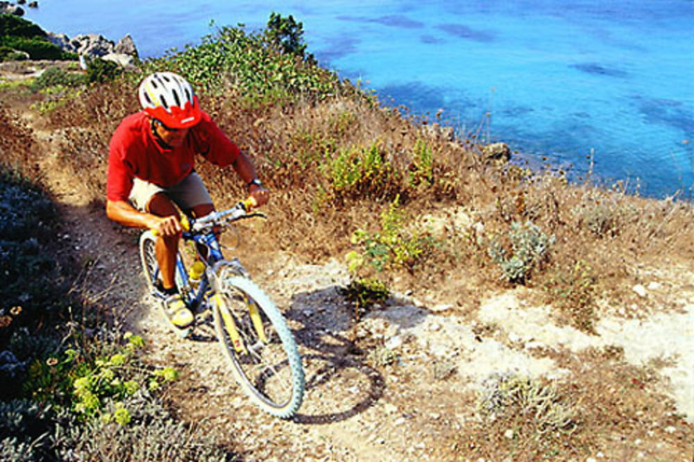
versione easy dell'itinerario tri is meglio che uan togliendo la salita al monte san martino ma perdendo anche lo splendido sentiero 45.
Galerie du tour
Carte du tour et altitude
Minimum height 10 m
Maximum height 233 m
Commentaires

italy toscana livorno isola d'elba portoferraio rotonde dell'enfola
Tracks GPS
Trackpoints-
GPX / Garmin Map Source (gpx) download
-
TCX / Garmin Training Center® (tcx) download
-
CRS / Garmin Training Center® (crs) download
-
Google Earth (kml) download
-
G7ToWin (g7t) download
-
TTQV (trk) download
-
Overlay (ovl) download
-
Fugawi (txt) download
-
Kompass (DAV) Track (tk) download
-
Feuille de tours (pdf) download
-
Original file of the author (gpx) download
Add to my favorites
Remove from my favorites
Edit tags
Open track
My score
Rate


