

Startpunkt ist die Mendelbahn in St Anton, dort kann man gut auch einen Parkplatz finden.
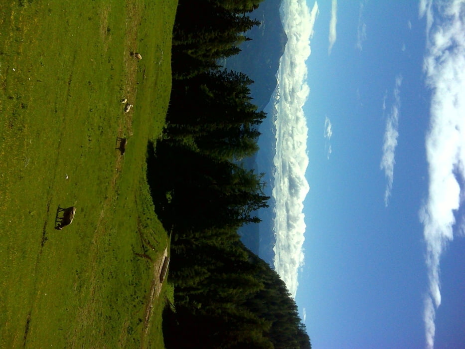
Es geht mit der Mendelbahn zur Bergstation auf ca. 1300 Hm von dort geht es über einige Almen bis zur Roenalm.
Von dort geht es nun hoch auf den Monte Roen auf ca. 2100 Hm, anschliesend steigen wir wieder ab zur Roenalm.
Und schlender weiter zur Überetscher Hütte, von dort gehts dann steil und kraftraubend ins Tal.
( die Oberschenkel dürfen sich dann schon mal melden ... )
Galerie du tour


Carte du tour et altitude
Minimum height 515 m
Maximum height 2116 m
More about the tour author

|
SuchdenFlow |
Commentaires

Tracks GPS
Trackpoints-
GPX / Garmin Map Source (gpx) download
-
TCX / Garmin Training Center® (tcx) download
-
CRS / Garmin Training Center® (crs) download
-
Google Earth (kml) download
-
G7ToWin (g7t) download
-
TTQV (trk) download
-
Overlay (ovl) download
-
Fugawi (txt) download
-
Kompass (DAV) Track (tk) download
-
Feuille de tours (pdf) download
-
Original file of the author (tcx) download
More about the tour author
|
|
SuchdenFlow |
Add to my favorites
Remove from my favorites
Edit tags
Open track
My score
Rate