


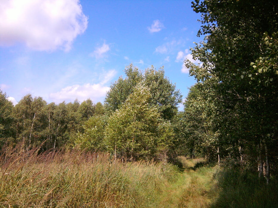
Ein Sonntag, der mal nicht ganz so heiß war, wollte genutzt werden. Zu dritt ging's entspannt vom S-Bahnhof Buch durch den Schloßpark, durch Röntgental, Wald und Flur nach Hobrechtsfelde. Nach einer Stärkung haben wir uns auf die Suche nach den freilebenden Rindern und Pferden gemacht, sind durch die ehemaligen Rieselfelder gewandert, konnten dem Weg entlang des Bogensees nicht folgen, haben das zum Wohnpark ausgebaute Klinikum Buch inspiziert und sind zum Abschluß eingekehrt.
Further information at
http://www.xxrrhahn.de/touren/buch-hobrechtsfelde-bogensee/index.htmlGalerie du tour


Carte du tour et altitude
Minimum height 68 m
Maximum height 140 m
More about the tour author

|
xxrhahn |
Commentaires

S-Bahnhof Buch (S2 - alle 10 bis 20 min)
Tracks GPS
Trackpoints-
GPX / Garmin Map Source (gpx) download
-
TCX / Garmin Training Center® (tcx) download
-
CRS / Garmin Training Center® (crs) download
-
Google Earth (kml) download
-
G7ToWin (g7t) download
-
TTQV (trk) download
-
Overlay (ovl) download
-
Fugawi (txt) download
-
Kompass (DAV) Track (tk) download
-
Feuille de tours (pdf) download
-
Original file of the author (gpx) download
More about the tour author
|
|
xxrhahn |
Add to my favorites
Remove from my favorites
Edit tags
Open track
My score
Rate