

Die Anfahrt geht über den Goldkronacher Stadtwald zum Ochsenkopfgipfel auf Forstwegen. Die Abfahrt vom Gipfel hinunter zum oberen Ring ist schön technisch :-) ab dem Weißmain Fels gibt´s noch mal einen schönen Trail, dann fährt man auf dem unteren Ring (Bruckweg) ein Forstweg über das Täfelein zum S-Weg (Trail). Den Abschluss bildet das Häfnersbergla (Trail) hinunter zur Ortsmitte in Goldkronach.
Viel Spass!
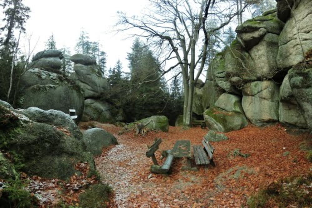
Galerie du tour

Carte du tour et altitude
Minimum height 446 m
Maximum height 1020 m
More about the tour author
|
|
berndhuber |
Commentaires

A9 Bayreuth nord Goldkronach
Tracks GPS
Trackpoints-
GPX / Garmin Map Source (gpx) download
-
TCX / Garmin Training Center® (tcx) download
-
CRS / Garmin Training Center® (crs) download
-
Google Earth (kml) download
-
G7ToWin (g7t) download
-
TTQV (trk) download
-
Overlay (ovl) download
-
Fugawi (txt) download
-
Kompass (DAV) Track (tk) download
-
Feuille de tours (pdf) download
-
Original file of the author (gpx) download
More about the tour author
|
|
berndhuber |
Add to my favorites
Remove from my favorites
Edit tags
Open track
My score
Rate