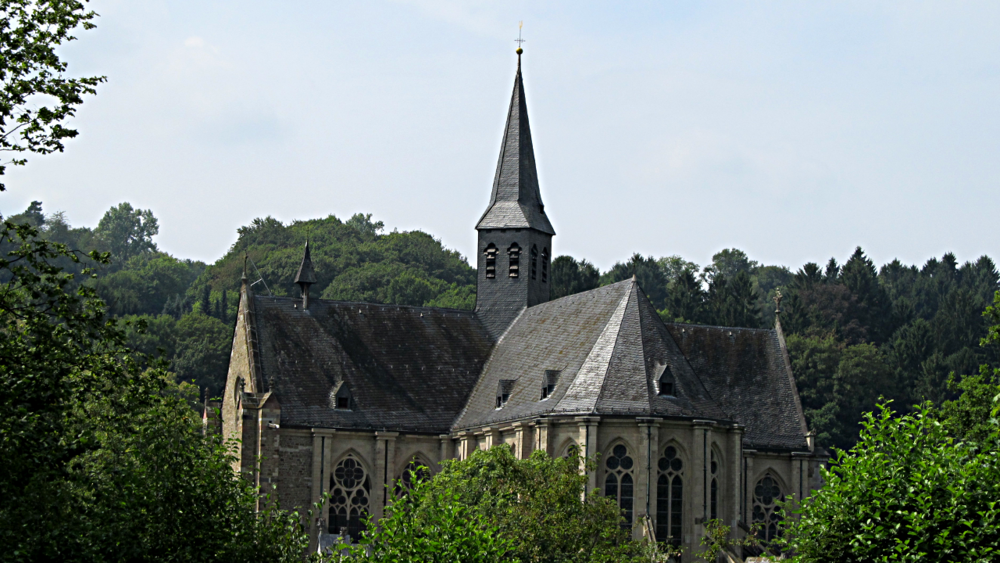
Diese Tour führt euch um die Dhünntalsperre. Ihr fahrt meist auf Asphalt neben ausgebauten Straßen.
Ein gutes Stück vor dem Altenberger Dom gilt es, eine Entscheidung zu treffen. Wer dem Abzweig nach Glöbusch und Eberich folgt, bekommt eine zusätzliche Steigung um 100 Höhenmeter. Wer gerade ausfährt, kann die Kraftkörner sparen. Die sportliche Leistung wird nicht mit einem Ausblick belohnt. Leider.
Auf der engen Landstraße hinter dem Dom fand ich den Auto- und Mopedverkehr an einem sonnigen Juli-Sonntag sehr störend.
Die Trinkwasser-Talsperre liegt gut geschützt, sogar neugierigen Blicken ist sie entzogen.
Die Tour bietet zahlreiche schöne Blicke ins Bergische Land, wer mag, kann an den zahlreichen Restaurants entlang der Strecke einkehren.
Further information at
http://de.wikipedia.org/wiki/Gro%C3%9Fe_Dh%C3%BCnntalsperreGalerie du tour
Carte du tour et altitude
Minimum height 37 m
Maximum height 288 m
Commentaires

Von Köln aus ist der Rundkurs über die S11 an der Haltestelle Duckterath gut erreichbar.
Tracks GPS
Trackpoints-
GPX / Garmin Map Source (gpx) download
-
TCX / Garmin Training Center® (tcx) download
-
CRS / Garmin Training Center® (crs) download
-
Google Earth (kml) download
-
G7ToWin (g7t) download
-
TTQV (trk) download
-
Overlay (ovl) download
-
Fugawi (txt) download
-
Kompass (DAV) Track (tk) download
-
Feuille de tours (pdf) download
-
Original file of the author (gpx) download
Add to my favorites
Remove from my favorites
Edit tags
Open track
My score
Rate


