
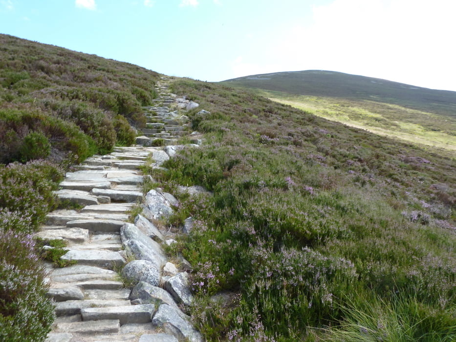

gut ausgeschilderte Tour mit herrlichem 360-Grad Rundumblick am Gipfel.
Festes Schuhwerk zu empfehlen!
Nach der Tour bietet sich eine Abfrischung im Loch Morlich an.
Further information at
http://www.walkhighlands.co.uk/Forum/viewtopic.php?f=9&t=43831Galerie du tour


Carte du tour et altitude
Minimum height 269 m
Maximum height 816 m
More about the tour author
|
|
Andi_Ndb |
Commentaires
Ausgangspunkt beim Glenmore Forest visitor centre. Dort sind auch ein Café und Toiletten
Der Ausgangspunkt ist gut mit öffentlichen Bussen ab Aviemore zu erreichen.
Tracks GPS
Trackpoints-
GPX / Garmin Map Source (gpx) download
-
TCX / Garmin Training Center® (tcx) download
-
CRS / Garmin Training Center® (crs) download
-
Google Earth (kml) download
-
G7ToWin (g7t) download
-
TTQV (trk) download
-
Overlay (ovl) download
-
Fugawi (txt) download
-
Kompass (DAV) Track (tk) download
-
Feuille de tours (pdf) download
-
Original file of the author (gpx) download
More about the tour author
|
|
Andi_Ndb |
Add to my favorites
Remove from my favorites
Edit tags
Open track
My score
Rate
Good Web page, Keep up the good work.
This is very interesting, You are a very skilled blogger. I've joined your feed and look forward to seeking more of your fantastic post
Check out my blog post :: http://www.onlinecigarettestoreus.com/