

inizia con una salita su asfalto poi sterrata facile fino alla cima del tambone. Si scende per la sterrata della segagnana e si svolta a sx. Oltrepassata una sbarra si passa davanti ad una casa e si continua per bellissimo single track a gradoni. Sbucati su una carrareccia si svolta a sx e ... si cammina in salita fino alla cima del monte tambone (strada si ma pendenze proibitive per il 99,99% della gente) . Arrivati in cima si tiene le dx e oltrepassato un caprile si prende un single track (in discrete condizioni) che riporterà al punto di partenza.
Carte du tour et altitude
Minimum height 16 m
Maximum height 324 m
More about the tour author

|
mikyross |
Commentaires

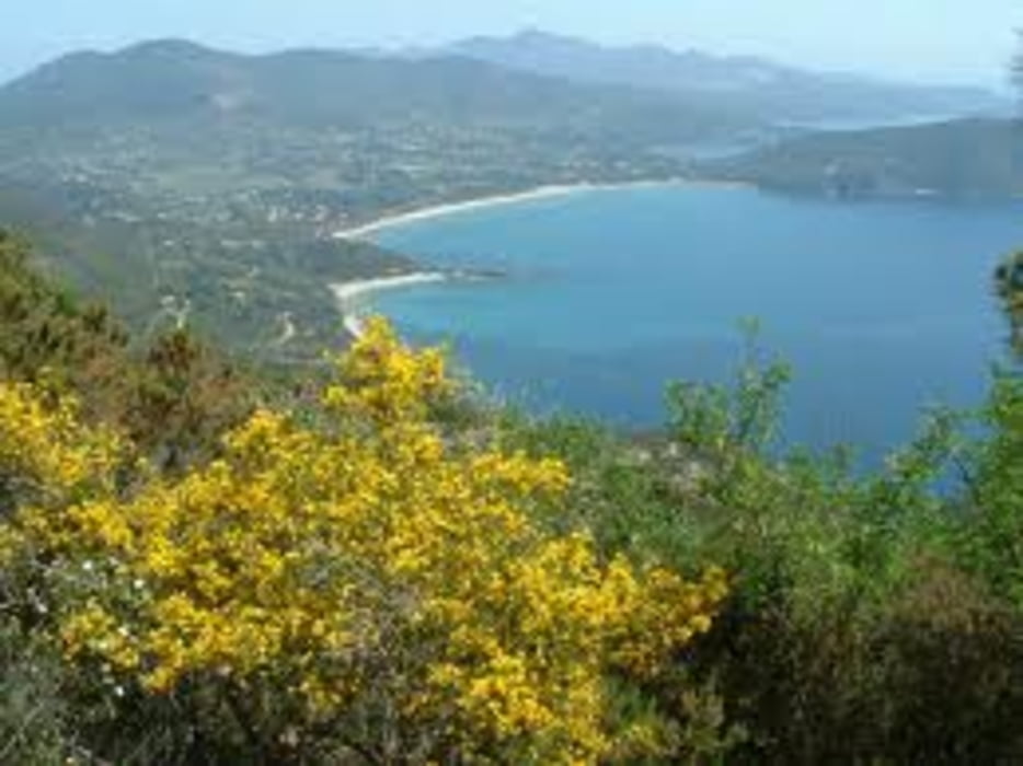
italia toscana livorno isola d'elba capoliveri lacona
Tracks GPS
Trackpoints-
GPX / Garmin Map Source (gpx) download
-
TCX / Garmin Training Center® (tcx) download
-
CRS / Garmin Training Center® (crs) download
-
Google Earth (kml) download
-
G7ToWin (g7t) download
-
TTQV (trk) download
-
Overlay (ovl) download
-
Fugawi (txt) download
-
Kompass (DAV) Track (tk) download
-
Feuille de tours (pdf) download
-
Original file of the author (gpx) download
More about the tour author
|
|
mikyross |
Add to my favorites
Remove from my favorites
Edit tags
Open track
My score
Rate