


Auf die Thaurer Alm gehts zunächst über Asphalt, dann über sehr gut präparierte Forststraße. Die Steigung am Anfang (Asphalt in Thaur) und insbesondere am Schluß ist durchaus knackig.
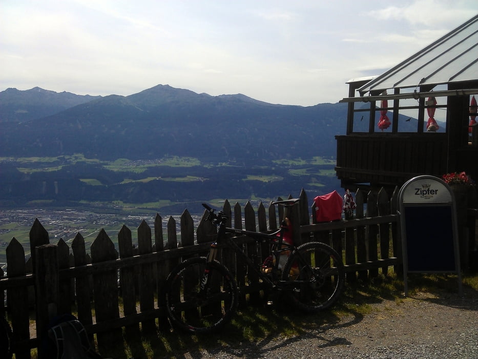
Die Thaurer Alm liegt superschön und hat gutes Essen. Der Blick ins Inntal ist genial.
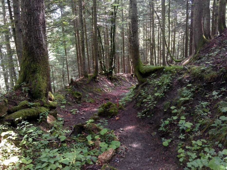
Die Abfahrt verläuft zunächst wieder über die Forststraße, dann über flowige, jedoch nicht unschwere Singletrails (KEIN Anfängerniveau!). Achtung Wanderer.
Wer darauf verzichten will fährt einfach wieder die Forststraße runter.
Galerie du tour
Carte du tour et altitude
Minimum height 566 m
Maximum height 1473 m
More about the tour author

|
DonSegafredo |
Commentaires

Los gehts am oberen Stadtplatz in Hall in Tirol. Parkplätze in der Altstadt eher spärlich, lieber ins Parkhaus im Norden oder irgendwo am Stadtrand parken.
Der Bahnhof liegt etwas ausserhalb im Westen (ca. 1 km).
Bus 4 und S aus Innsbruck halten an der Altstadt.
Tracks GPS
Trackpoints-
GPX / Garmin Map Source (gpx) download
-
TCX / Garmin Training Center® (tcx) download
-
CRS / Garmin Training Center® (crs) download
-
Google Earth (kml) download
-
G7ToWin (g7t) download
-
TTQV (trk) download
-
Overlay (ovl) download
-
Fugawi (txt) download
-
Kompass (DAV) Track (tk) download
-
Feuille de tours (pdf) download
-
Original file of the author (gpx) download
More about the tour author
|
|
DonSegafredo |
Add to my favorites
Remove from my favorites
Edit tags
Open track
My score
Rate