

Durch den Ort Sant'Ambrogio geht es direkt sehr steil bergauf zu einem Wahrzeichen des Piemont.
Die Kirche = Sacra di San Michele liegt hoch ueber dem Tal auf einem Felsen und ist offen fuer Besichtigungen.
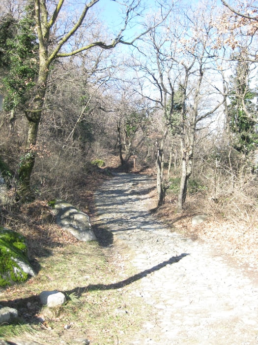
Der Weg ist gut ausgeschildert und man kann entweder denselben Weg wieder hinab gehen oder einen Teil auf der wenig befahrenen Strasse laufen.
Galerie du tour


Carte du tour et altitude
Minimum height 357 m
Maximum height 939 m
More about the tour author

|
larne |
Commentaires

Tracks GPS
Trackpoints-
GPX / Garmin Map Source (gpx) download
-
TCX / Garmin Training Center® (tcx) download
-
CRS / Garmin Training Center® (crs) download
-
Google Earth (kml) download
-
G7ToWin (g7t) download
-
TTQV (trk) download
-
Overlay (ovl) download
-
Fugawi (txt) download
-
Kompass (DAV) Track (tk) download
-
Feuille de tours (pdf) download
-
Original file of the author (gpx) download
More about the tour author
|
|
larne |
Add to my favorites
Remove from my favorites
Edit tags
Open track
My score
Rate