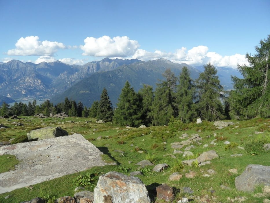
anspruchsvolle Bergtour von Colico zum Refugio Scoggione am Mt. Legnone
Der Weg vom Refugio Scoggione zur Alpe Rossa (Sentiero 2 del Pivion) ist alpin, man braucht kurzzeitig immer wieder beide Hände um schwere Stellen (meist mit Sicherungskette) zu meistern, nichts für unerfahrene. Schwindelfreiheit, Trittsicherheit und gutes rutschfestes Schuhwerk erforderlich!
Galerie du tour
Carte du tour et altitude
Minimum height 460 m
Maximum height 1671 m
Commentaires

parken am Wegpunkt oberhalb Colico
Tracks GPS
Trackpoints-
GPX / Garmin Map Source (gpx) download
-
TCX / Garmin Training Center® (tcx) download
-
CRS / Garmin Training Center® (crs) download
-
Google Earth (kml) download
-
G7ToWin (g7t) download
-
TTQV (trk) download
-
Overlay (ovl) download
-
Fugawi (txt) download
-
Kompass (DAV) Track (tk) download
-
Feuille de tours (pdf) download
-
Original file of the author (gpx) download
Add to my favorites
Remove from my favorites
Edit tags
Open track
My score
Rate


