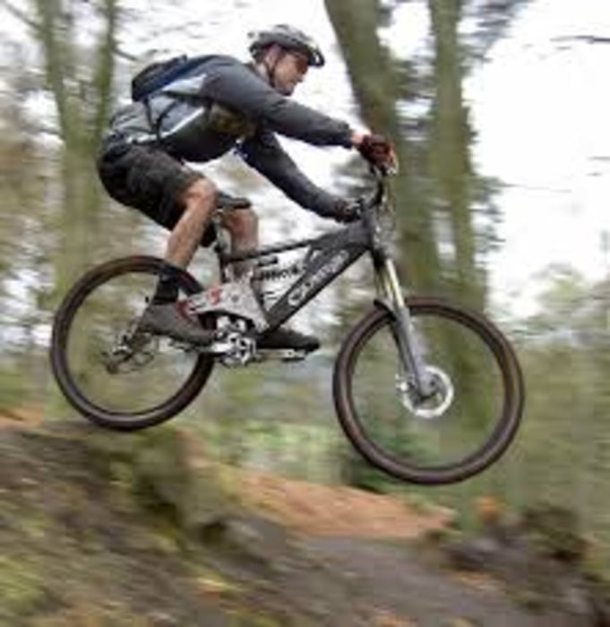
Dopo una lunga ma lieve salita si prende il sigle track serra del pero e si scende a lacona. Attenzione che il tratto centrale non è pedalabile per 100 metri, tutti rovinati dai motociclisti. Si risale per capo stella, si oltrepassa il cancello e si spinge la bici a mano in salita per 50 metri. Si contrinua per splendido single track in cresta, alla fine del quale a destra e per strada sterrata si scende ad una splendida caletta a fare il bagno. Si spinge altri 50 metri e si prende un'altro splendido single track esposto che costeggia il mare. Si oltrepassa il campeggio (evitabile in alta stagione rientrando a destra sul single track di partenza, indicazioni con frecce azzurre in loco) e si va a prendere la salita per il monte orello. Attenzione che dopo il single track vi aspetta una discesa difficilissima su fondo sassoso che frana moltissimo! In bocca al lupo!
Galerie du tour
Carte du tour et altitude
Minimum height 9 m
Maximum height 303 m
Commentaires
italia toscana livorno isola d'elba strada tra portoferraio e portoazzurro, indicazioni per colle reciso.
Tracks GPS
Trackpoints-
GPX / Garmin Map Source (gpx) download
-
TCX / Garmin Training Center® (tcx) download
-
CRS / Garmin Training Center® (crs) download
-
Google Earth (kml) download
-
G7ToWin (g7t) download
-
TTQV (trk) download
-
Overlay (ovl) download
-
Fugawi (txt) download
-
Kompass (DAV) Track (tk) download
-
Feuille de tours (pdf) download
-
Original file of the author (gpx) download
Add to my favorites
Remove from my favorites
Edit tags
Open track
My score
Rate


Itinerario #134634: il trifoglio di colle reciso