Login

Login oublié ?

Cookies have to be accepted!
Your browser's cookie functionality is disabled. Please enable this functionality.

Not a member yet?

Register now
Login

Available for registred users only

Log in to use this feature.

Login oublié ?

Cookies have to be accepted!
Your browser's cookie functionality is disabled. Please enable this functionality.

Not a member yet?

Register now
Filter
Catégories
Advanced filters
  • Longueur (km)
  • Altimètre
Enregistrer le filtre Reset filter

TrackRank

QRCode

Technical data

Longueur6,9 km Altimètre387 m Way down358 m Durée03:00 h:m Date26.08.2014
Evaluations Author Paysage Aspect amusement Condition Technique

Statistiques

1128 Vues Evaluations 14 Téléchargements Moyenne
Rate
  • Feuille de tours
  • Arrivée
  • Téléchargements

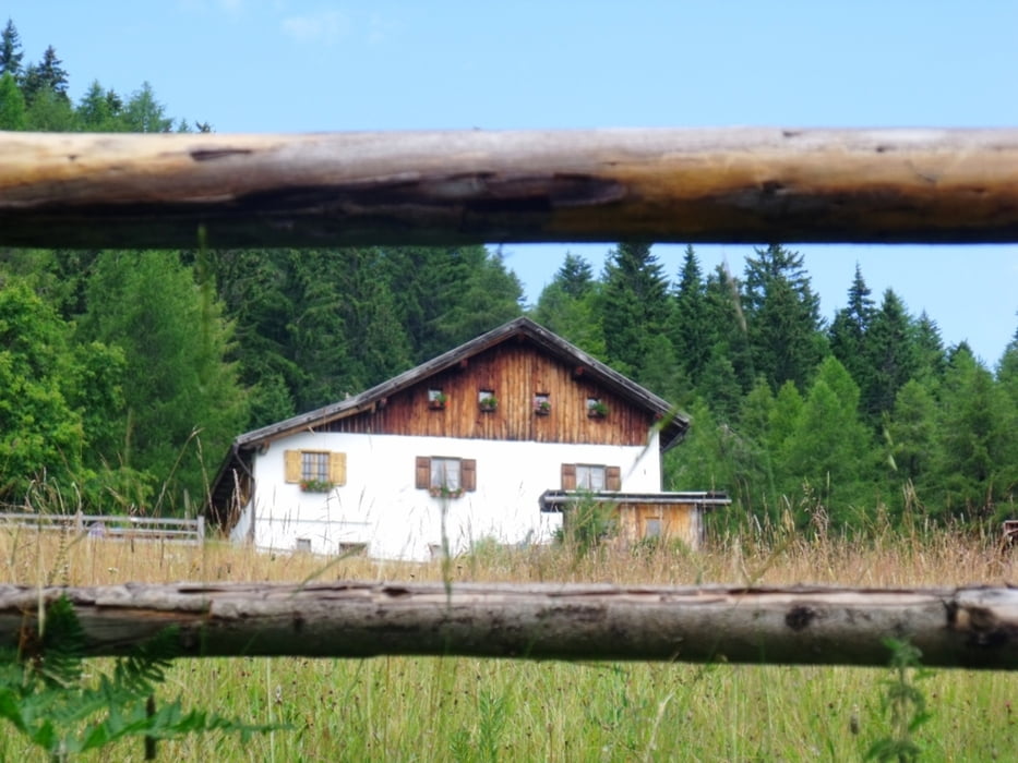
Dal centro del paese di Anterivo (1.216 m), un antico sentiero lastricato e quasi piano (segnavia n°5) conduce, attraverso prati, pascoli e boschi, direttamente alla Palù Longa (1.448 m), grande torbiera. Proseguendo sulla strada forestale si raggiungiamo le Malghette - Krabes Alm (1.539 m, conduzione estiva). Di qui è possibile fare il rientro ad Anterivo.


Galerie du tour

Carte du tour et altitude

  • Open Street Map
  • Google
Minimum height 1189 m Maximum height 1553 m Vue de détail

More about the tour author

bonani
Member since 2012

Send private message

Commentaires

A un’altitudine di 1.209 m s.l.m. si trova il paesino di Anterivo, abbracciato dalla natura intatta del Parco Naturale Monte Corno. Il comune conta ca. 390 abitanti e si estende su una superficie di 11 km². E' raggiungibile uscendo dal casello autostradale do Ora  - Auer e salendo in direzione di Cavalese. Al passo San Lugano deviare verso Anterivo.


Tracks GPS

Trackpoints
  • GPX / Garmin Map Source (gpx) download
  • TCX / Garmin Training Center® (tcx) download
  • CRS / Garmin Training Center® (crs) download
  • Google Earth (kml) download
  • G7ToWin (g7t) download
  • TTQV (trk) download
  • Overlay (ovl) download
  • Fugawi (txt) download
  • Kompass (DAV) Track (tk) download
  • Feuille de tours (pdf) download
  • Original file of the author (gpx) download

More about the tour author

bonani
Member since 2012

Send private message
Share track
Add to my favorites
Remove from my favorites
Edit tags
My score
Rate
Tour: Anterivo - Malghette / Krabes Alm
Cat.: Tour en montagne
Longueur: 6,9 km
Evaluated on:
Durée:
Day(s)
Hour(s)
Minute(s)
Evaluation: Paysage Aspect amusement Condition Technique