


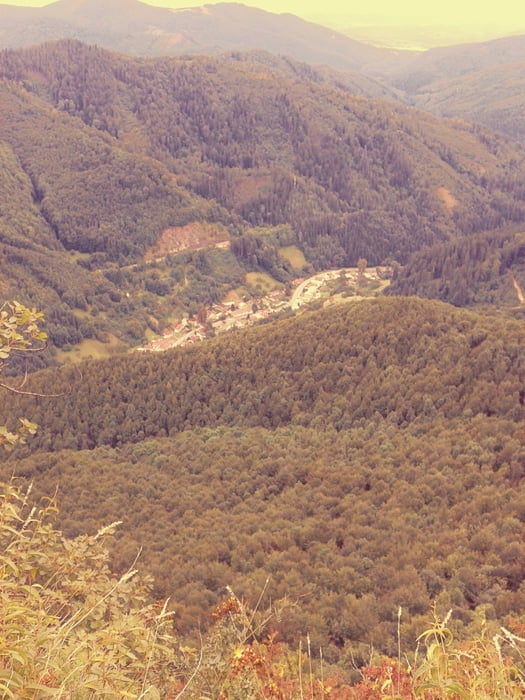
Na začiatku trasy ma čakalo 20 km stúpanie na Skalku(1220m.n.m.) po asfaltovej ceste. Ďalej cesta viedla po lesnej ceste, značenej cyklotrase(červená) cez Vyhnátovú, Kordícke sedlo, až na križovatku Pod Tablou. Tam sme odbočili na žltú turistickú trasu (neodporúčam na bicykli :D ). Po žltej sme sa dostali na Štefanku, a cez Vápenicu a Harmaneckú jaskyňu do Horného Harmanca. Úsek od Vápenice po Harmanec je náročná pešia turistika, s bicyklom na pleci obzvlásť, kamarát skončil s ohnutým prevodníkom a zlomeným sedlom, takže o zábavu bolo postarané. Naspäť to bola pokojná cesta do Hliníka cez Banskú Bystricu a Zvolen.
Galerie du tour


Carte du tour et altitude
Minimum height 238 m
Maximum height 1231 m
More about the tour author
|
|
4matheew4 |
Commentaires

Tracks GPS
Trackpoints-
GPX / Garmin Map Source (gpx) download
-
TCX / Garmin Training Center® (tcx) download
-
CRS / Garmin Training Center® (crs) download
-
Google Earth (kml) download
-
G7ToWin (g7t) download
-
TTQV (trk) download
-
Overlay (ovl) download
-
Fugawi (txt) download
-
Kompass (DAV) Track (tk) download
-
Feuille de tours (pdf) download
-
Original file of the author (gpx) download
More about the tour author
|
|
4matheew4 |
Add to my favorites
Remove from my favorites
Edit tags
Open track
My score
Rate