
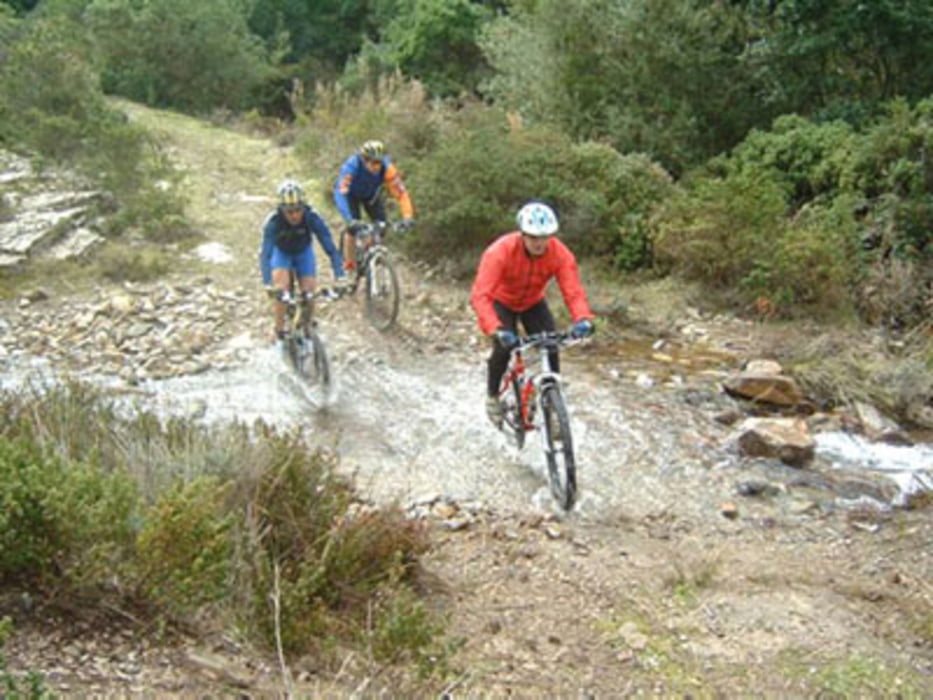

Percorso segnalato in loco con frecce con la scritta "ripa est" di colore giallo. Si inizia con dei brevi strappi in salita fino a raggiungere a destra il single track che porta all'anello alto. Si continua su questo fino a scendere alle ripalte. Subito dopo il maneggio si prende a sinistra una sterrata in discesa che riporta all'anello basso. Bagno consigliato alla spiaggia che volete, a me piacciono lo stagnone o cala d'istia. Ad un certo punto si prende sulla sinistra un single track in salita che si ricongiunge poi all'asfalto e a Capoliveri.Bel percorso, non tecnico ne impegnativo atleticamente, consigliato in estate al pomeriggio perchè il versante est va al'ombra. Vedi il sito capoliveribikepark. Disponibile in loco una cartina dei sentieri.
Galerie du tour


Carte du tour et altitude
Minimum height 17 m
Maximum height 336 m
More about the tour author

|
mikyross |
Commentaires

italy toscana livorno isola d'elba capoliveri
Tracks GPS
Trackpoints-
GPX / Garmin Map Source (gpx) download
-
TCX / Garmin Training Center® (tcx) download
-
CRS / Garmin Training Center® (crs) download
-
Google Earth (kml) download
-
G7ToWin (g7t) download
-
TTQV (trk) download
-
Overlay (ovl) download
-
Fugawi (txt) download
-
Kompass (DAV) Track (tk) download
-
Feuille de tours (pdf) download
-
Original file of the author (gpx) download
More about the tour author
|
|
mikyross |
Add to my favorites
Remove from my favorites
Edit tags
Open track
My score
Rate