
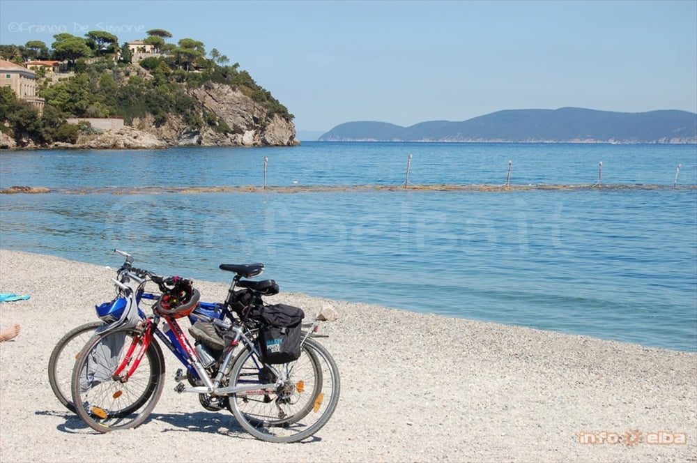

Segnalato in loco con le frecce rosse con scritto "Calamita". Si tratta in pratica del giro noto come anello basso, in quanto gira attorno al monte calamita. Tutta o quasi strada sterrata, si arriva alle ripalte e si scende a destra poco prima del maneggio. Si continua in discesa (bagno obbigatorio!!!) e si passano le spiagge dello stagnone, del buzzancone, di cala d'istia e di naregno. Si risale poi per asfalto. Occhio ad alcune brevi ma ripide salite nel tratto finale, e si ritona a capoliveri. Percorso tecnicamente molto facile, non impegnativo atleticamente, ottimo per i panorami, per il bagno e per iniziare a conoscere il capoliveribikepark.
Galerie du tour


Carte du tour et altitude
Minimum height 8 m
Maximum height 219 m
More about the tour author

|
mikyross |
Commentaires

italia toscana livorno isola d'elba capoliveri capoliveribikepark
Tracks GPS
Trackpoints-
GPX / Garmin Map Source (gpx) download
-
TCX / Garmin Training Center® (tcx) download
-
CRS / Garmin Training Center® (crs) download
-
Google Earth (kml) download
-
G7ToWin (g7t) download
-
TTQV (trk) download
-
Overlay (ovl) download
-
Fugawi (txt) download
-
Kompass (DAV) Track (tk) download
-
Feuille de tours (pdf) download
-
Original file of the author (gpx) download
More about the tour author
|
|
mikyross |
Add to my favorites
Remove from my favorites
Edit tags
Open track
My score
Rate