


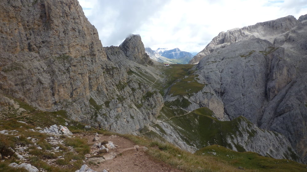
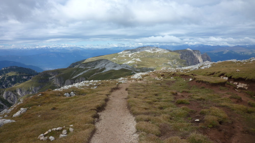
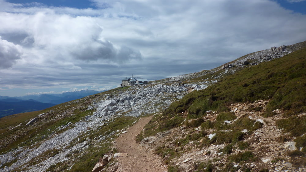
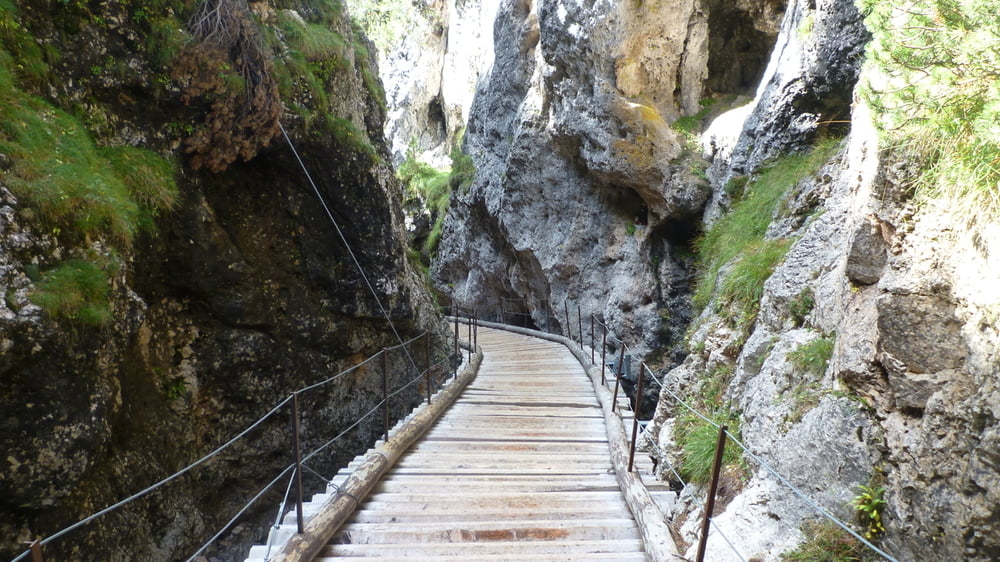
Von Saltria über die Tierser Alpl auf den Schlern. Von dort über den Prügelsteig hinunter zu den Völser Weihern. Ab Seis über die Strasse zurück auf die Alm nach Saltria. Es sind hier erhebliche Trage- und Schiebestrecken einzukalkulieren. Der Streckenteil von der Tierser Alpl ist nur am Anfang kurz fahrbar, dann bis auf das Schlernhochplateau nur noch schiebend und teilweise tragend zu bewältigen. Die Fahrbarkeit auf dem Schlernhochplateau hängt stark von der jeweiligen Fahrtechnik ab. Es gibt dort immer wieder Felsstufen, die fahrend nicht jedermanns Sache sind. Ab dem Schlernhaus in Richtung Prügelsteig ist der Weg für Mountainbiker gesperrt und auch nach einem leichten Anfang über Almweisen nur mit entsprechender Fahrtechnik zu bewältigen. Insgesamt aber eine überwältigende Tour mit beispiellosen Dolomiten Panoramen.
Galerie du tour
Carte du tour et altitude
Minimum height 948 m
Maximum height 2570 m
More about the tour author

|
Commentaires

Tracks GPS
Trackpoints-
GPX / Garmin Map Source (gpx) download
-
TCX / Garmin Training Center® (tcx) download
-
CRS / Garmin Training Center® (crs) download
-
Google Earth (kml) download
-
G7ToWin (g7t) download
-
TTQV (trk) download
-
Overlay (ovl) download
-
Fugawi (txt) download
-
Kompass (DAV) Track (tk) download
-
Feuille de tours (pdf) download
-
Original file of the author (tcx) download
More about the tour author
|
|
Add to my favorites
Remove from my favorites
Edit tags
Open track
My score
Rate