
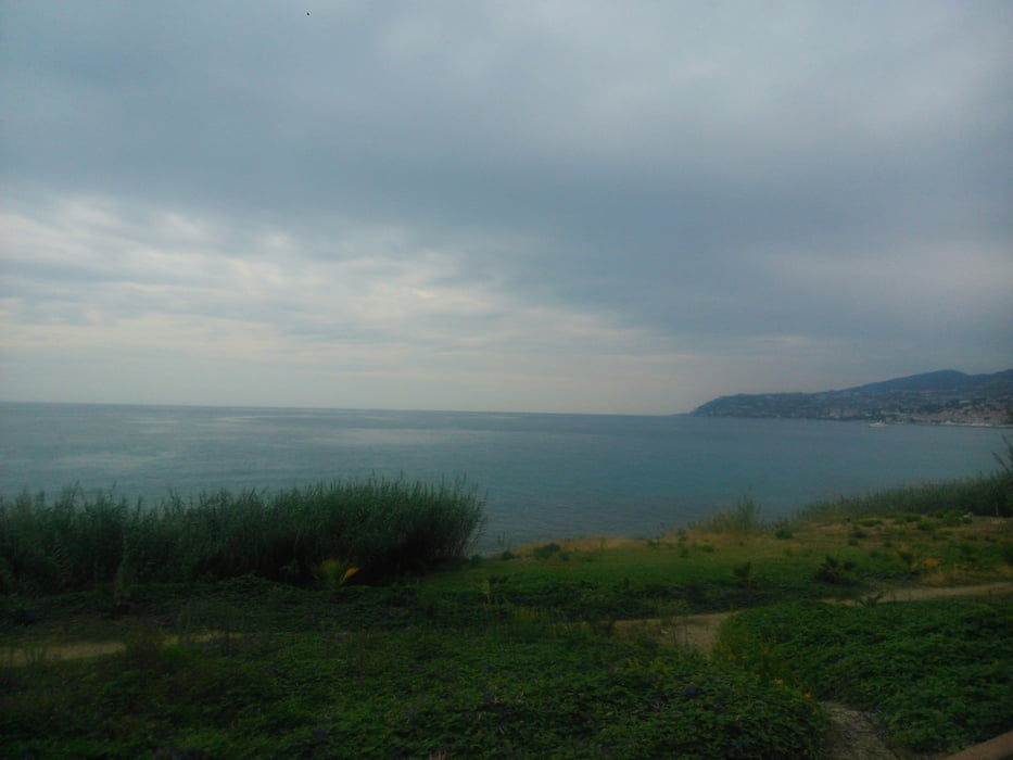

Auf dem Radweg immer an der Küste entlang in Richtung San Remo. Sehr schöne Strecke mit Blick auf das Meer.
Auf dem Rückweg ging die Batterie im GPS Gerät leider zu neige...
Carte du tour et altitude
Minimum height -5 m
Maximum height 18 m
More about the tour author

|
thheinz |
Commentaires

Tracks GPS
Trackpoints-
GPX / Garmin Map Source (gpx) download
-
TCX / Garmin Training Center® (tcx) download
-
CRS / Garmin Training Center® (crs) download
-
Google Earth (kml) download
-
G7ToWin (g7t) download
-
TTQV (trk) download
-
Overlay (ovl) download
-
Fugawi (txt) download
-
Kompass (DAV) Track (tk) download
-
Feuille de tours (pdf) download
-
Original file of the author (gpx) download
More about the tour author
|
|
thheinz |
Add to my favorites
Remove from my favorites
Edit tags
Open track
My score
Rate