Login

Login oublié ?

Cookies have to be accepted!
Your browser's cookie functionality is disabled. Please enable this functionality.

Not a member yet?

Register now
Login

Available for registred users only

Log in to use this feature.

Login oublié ?

Cookies have to be accepted!
Your browser's cookie functionality is disabled. Please enable this functionality.

Not a member yet?

Register now
Filter
Catégories
Advanced filters
  • Longueur (km)
  • Altimètre
Enregistrer le filtre Reset filter

TrackRank

QRCode

Technical data

Longueur37,2 km Altimètre1237 m Way down1207 m Durée04:00 h:m Date04.10.2014
Evaluations Author Paysage Aspect amusement Condition Technique

Statistiques

1207 Vues Evaluations 115 Téléchargements Moyenne
Rate
  • Feuille de tours
  • Arrivée
  • Téléchargements

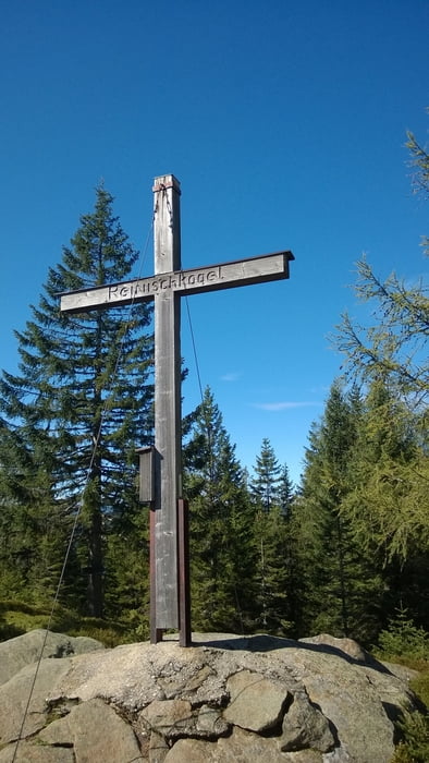
Tour von Stainz über Forststraßen und Wanderwege auf den Reinischkogel.

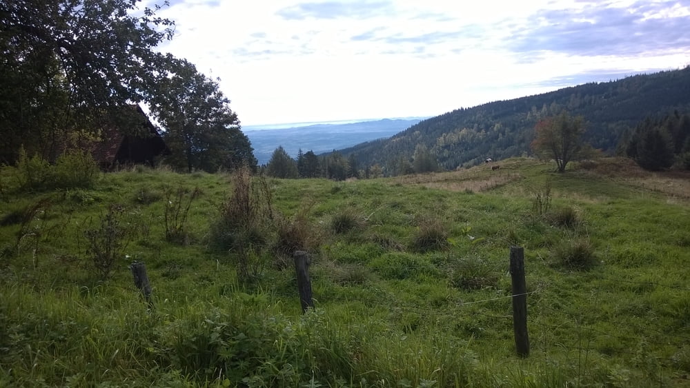
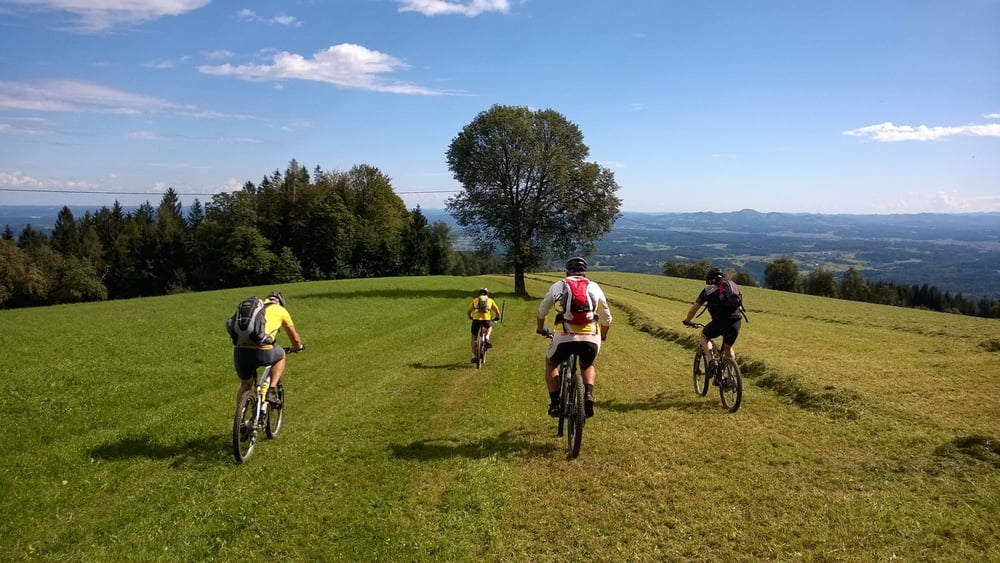
Über Trails zum Absetzwirt und dann am Wanderweg über flowige 800Hm nach Stainz.

Galerie du tour

Carte du tour et altitude

  • Open Street Map
  • Google
Minimum height 336 m Maximum height 1463 m Vue de détail

More about the tour author

Ferdinand_13
Member since 2008

Send private message

Commentaires

Abfahrt "Lieboch" von der A2, ca. 10 km westlich von Graz.

Dann ca. 15km Bundesstraße bis Stainz.

Tracks GPS

Trackpoints
  • GPX / Garmin Map Source (gpx) download
  • TCX / Garmin Training Center® (tcx) download
  • CRS / Garmin Training Center® (crs) download
  • Google Earth (kml) download
  • G7ToWin (g7t) download
  • TTQV (trk) download
  • Overlay (ovl) download
  • Fugawi (txt) download
  • Kompass (DAV) Track (tk) download
  • Feuille de tours (pdf) download
  • Original file of the author (gpx) download

More about the tour author

Ferdinand_13
Member since 2008

Send private message
Share track
Add to my favorites
Remove from my favorites
Edit tags
My score
Rate
Tour: Reinischkogel
Cat.: Mountainbike
Longueur: 37,2 km
Evaluated on:
Durée:
Day(s)
Hour(s)
Minute(s)
Evaluation: Paysage Aspect amusement Condition Technique