


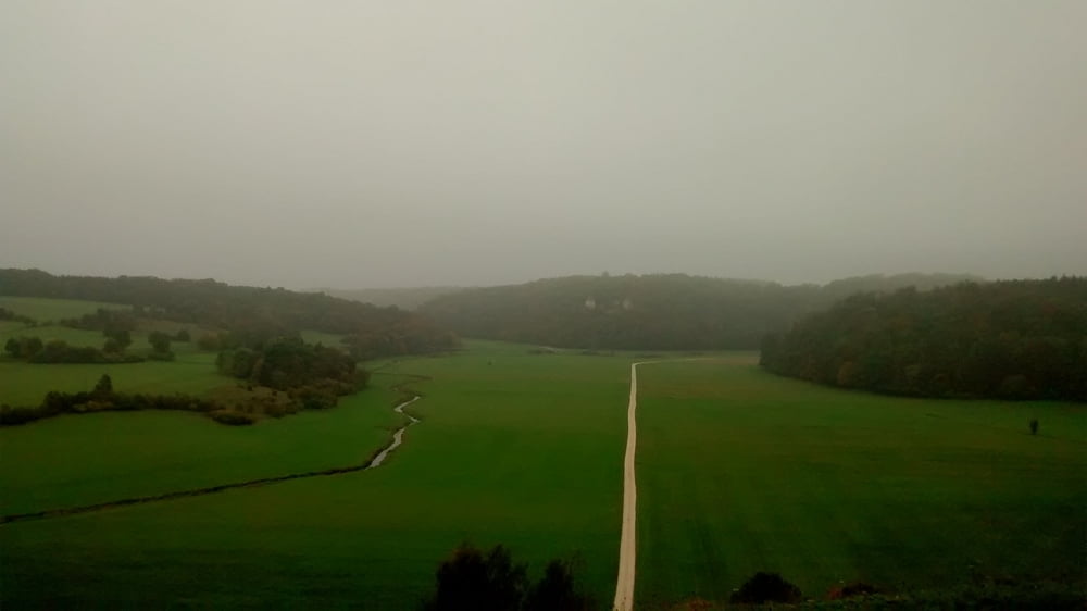
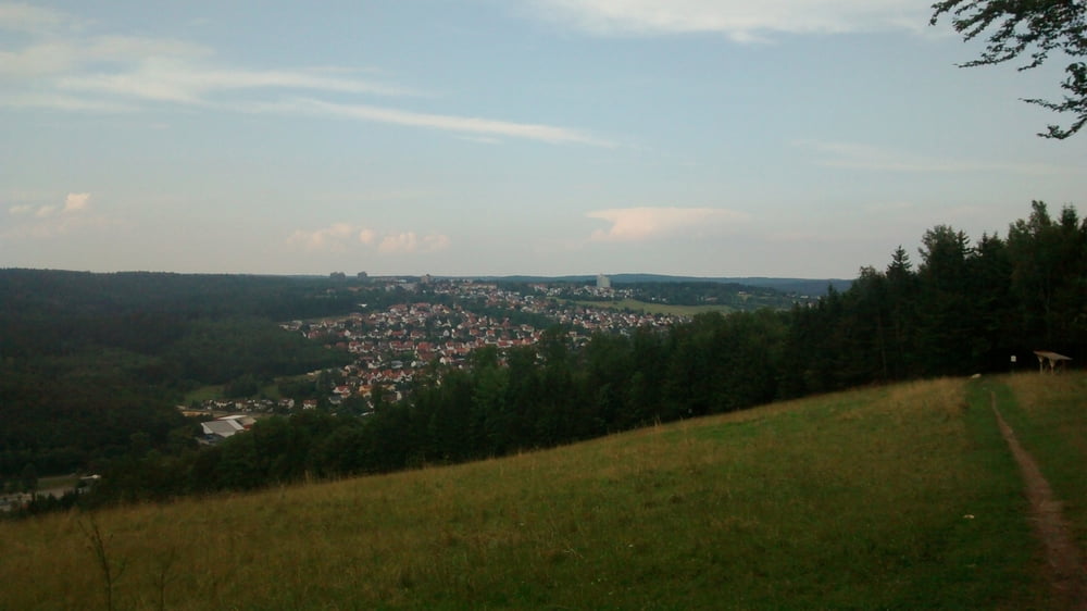
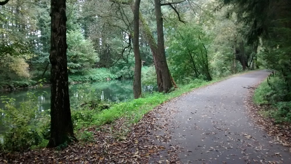
Nette Eintagestour mit relativ viel Trailanteil und schönen Landschaften. Inklusive Bikepark ;). Wenn man von weiter wegkommt lohnt es sich auch von Sontheim zu starten und nach dem Pfannental nach Gundelfingen und von da aus nach Sontheim zu fahren. Wer ganz bequem ist kann auch nur die passage mit den meisten trails fahren indem er in Herbrechtingen startet und nach dem Bikepark in Heidenheim wieder zurück fährt.
Also viel Spaß :)
PS. Unten könnt ihr noch den Bikepark in einem YouTube Video anschauen.
Und denkt daran, dass in würthemberg die 2 Meter Regel gilt.
Also seid euch bewusst worauf ihr euch ein lässt.
Further information at
http://m.youtube.com/watch?v=8hA4T3JpitkGalerie du tour
Carte du tour et altitude
Minimum height 468 m
Maximum height 731 m
More about the tour author
|
|
eliaswa |
Commentaires

Starten kann man am Baywa Parkplatz.
Tracks GPS
Trackpoints-
GPX / Garmin Map Source (gpx) download
-
TCX / Garmin Training Center® (tcx) download
-
CRS / Garmin Training Center® (crs) download
-
Google Earth (kml) download
-
G7ToWin (g7t) download
-
TTQV (trk) download
-
Overlay (ovl) download
-
Fugawi (txt) download
-
Kompass (DAV) Track (tk) download
-
Feuille de tours (pdf) download
-
Original file of the author (gpx) download
More about the tour author
|
|
eliaswa |
Add to my favorites
Remove from my favorites
Edit tags
Open track
My score
Rate