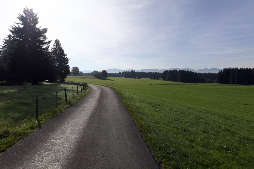
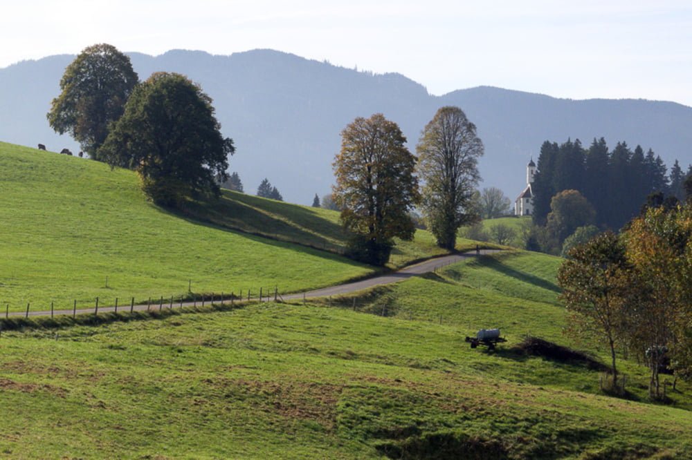
Nette Runde auf nahezu autofreien Wegen (mal abgesehen vond er Ortsdurchfahrt Steingaden und dem Stück bei Altenstadt). Keine längeren Anstiege, auch anfängertauglich.
Galerie du tour
Carte du tour et altitude
Minimum height 664 m
Maximum height 862 m
Commentaires

Parken am Bahnhof Schongau (zumindest am Sonntag problemlos).
Tracks GPS
Trackpoints-
GPX / Garmin Map Source (gpx) download
-
TCX / Garmin Training Center® (tcx) download
-
CRS / Garmin Training Center® (crs) download
-
Google Earth (kml) download
-
G7ToWin (g7t) download
-
TTQV (trk) download
-
Overlay (ovl) download
-
Fugawi (txt) download
-
Kompass (DAV) Track (tk) download
-
Feuille de tours (pdf) download
-
Original file of the author (gpx) download
Add to my favorites
Remove from my favorites
Edit tags
Open track
My score
Rate


